Missouri’s Best Day Hike? Mina Sauk Falls to Devil’s Toll Gate
Hiking Mina Sauk Falls to Devil’s Toll Gate at Taum Sauk Mountain State Park

Since moving to St. Louis I’ve experience many Missouri hiking trail; this may possibly be the best day hike in Missouri. In one five mile hike you’ll experience: Missouri’s tallest peak, Taum Sauk Mountain (1,772ft), Missouri’s tallest waterfall, Mina Sauk Falls (132ft), a beautiful unobstructed panoramic view of the St. Francois mountains, classic Missouri glades, a section of the Ozark Trail, and a unique 30ft rhyolite rock formation over a billion years old, the Devil’s Toll Gate. If there was one hike to showcase all the beauty the Missouri outdoors has to offer, Mina Sauk Falls to Devil’s Toll Gate is probably it.
Mina Sauk Falls to Devils Toll Gate
Type: Loop | Rate: Moderate to Difficult | Traffic: Moderate to Heavy | Distance: 4.8mi | Elevation Gain: 719ft
Possibly Missouri’s best day hike.
View this map in AllTrails.
Missouri’s Tallest Mountain: Taum Sauk
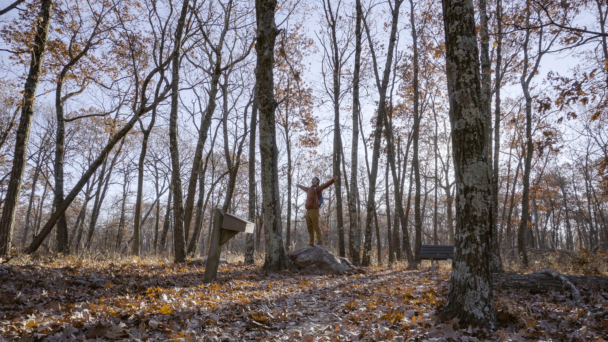
Missouri’s high point, Taum Sauk Mountain (1,772ft), to be honest is a little underwhelming being the tallest mountain in Missouri. There is no beautiful bluff view or really any view at all, simply a stone and small plaque marking Missouri's tallest peak. The good news is this is ADA accessible and just a short walk from the parking lot.
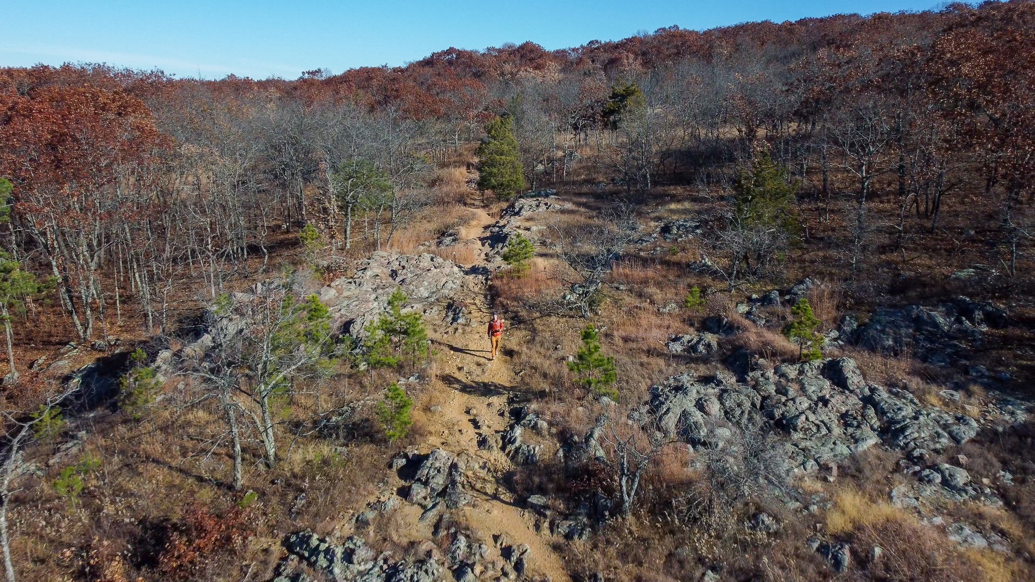
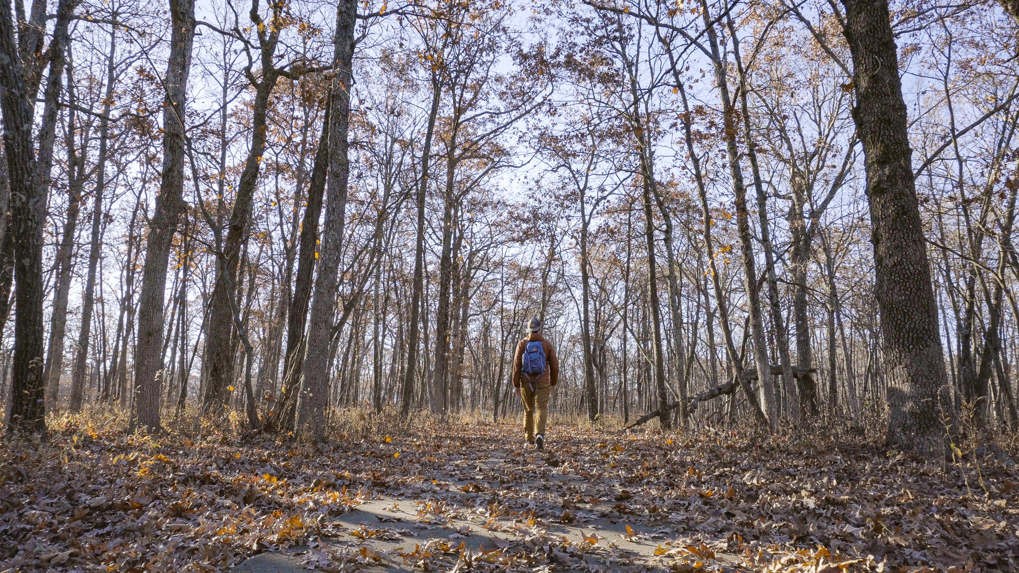
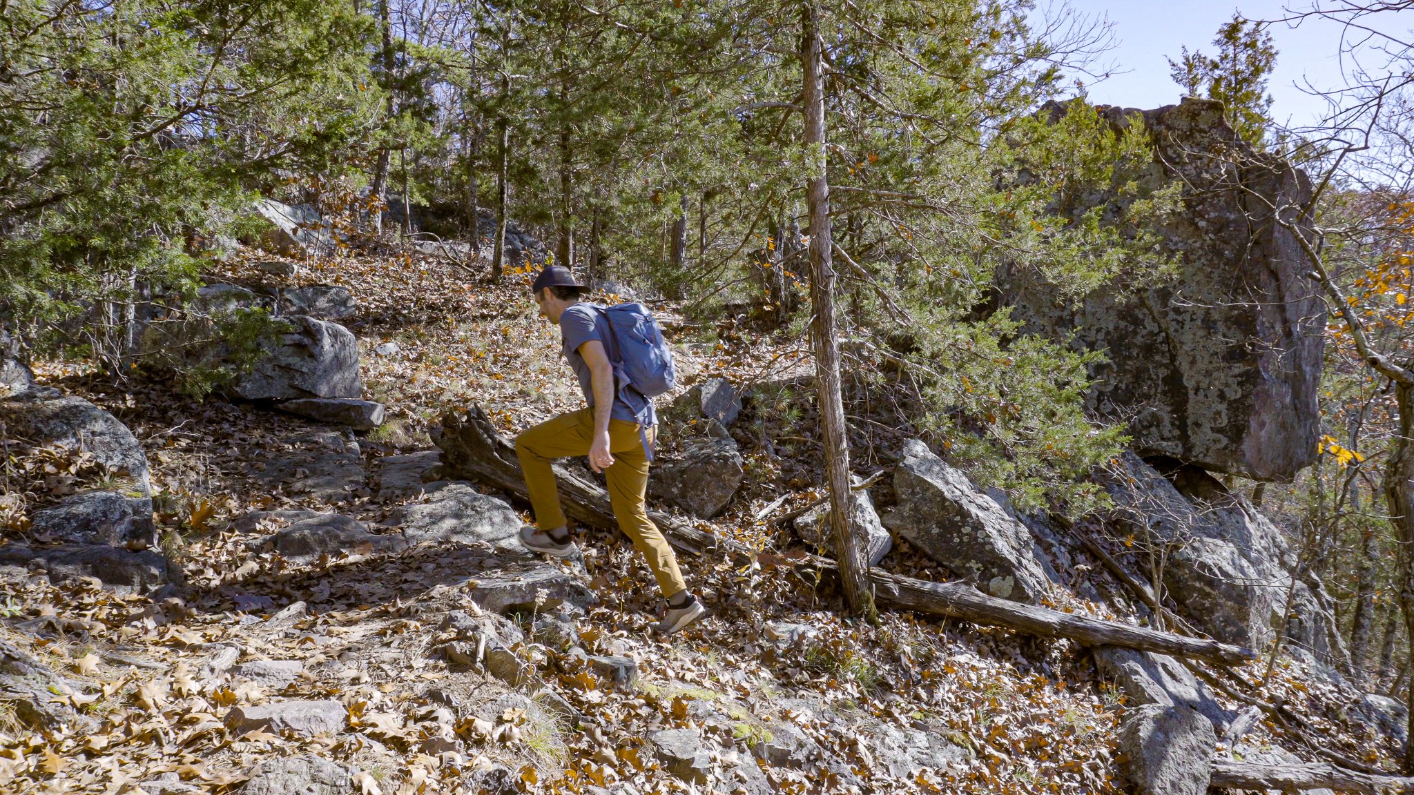
Mina Sauk Falls Trail
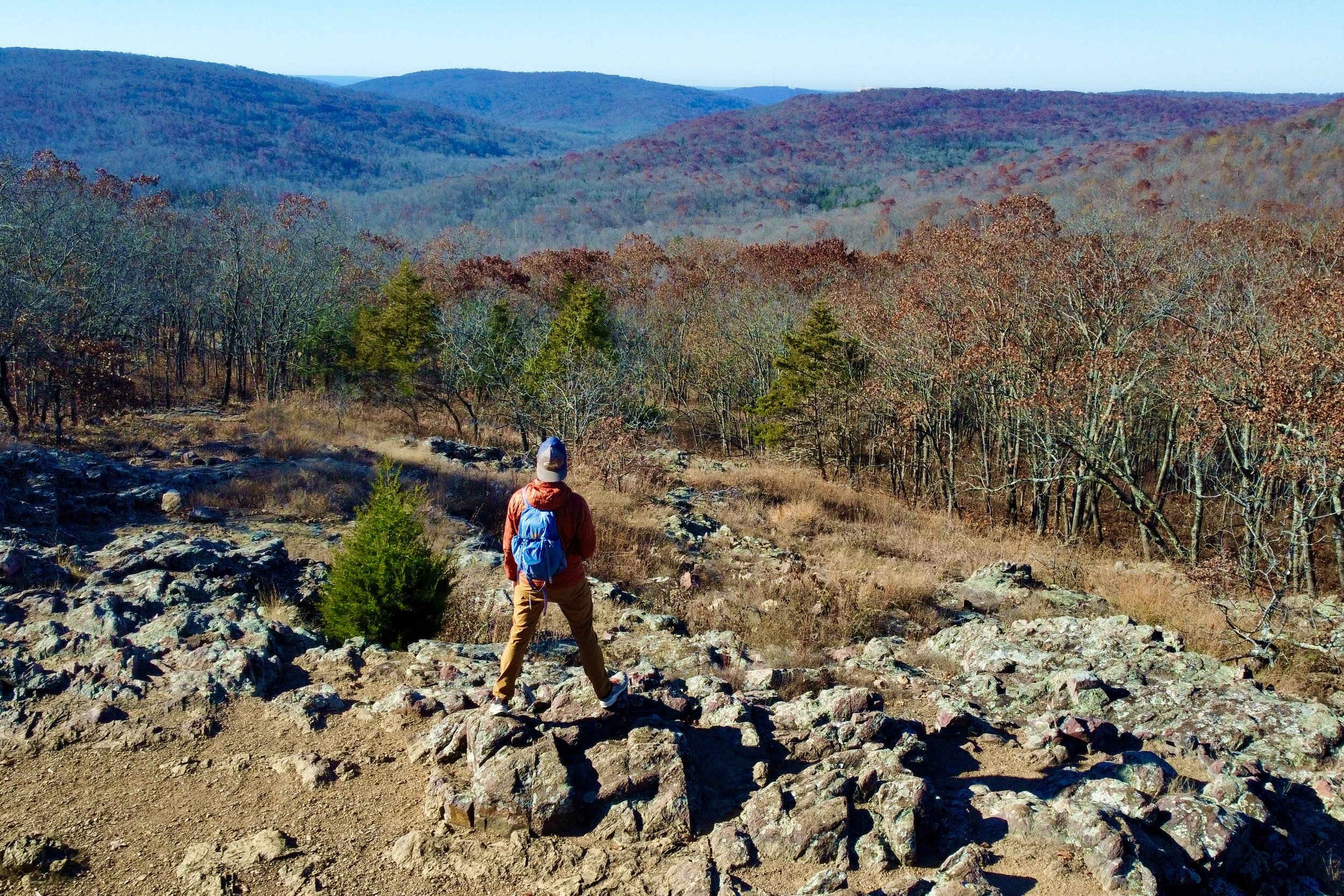
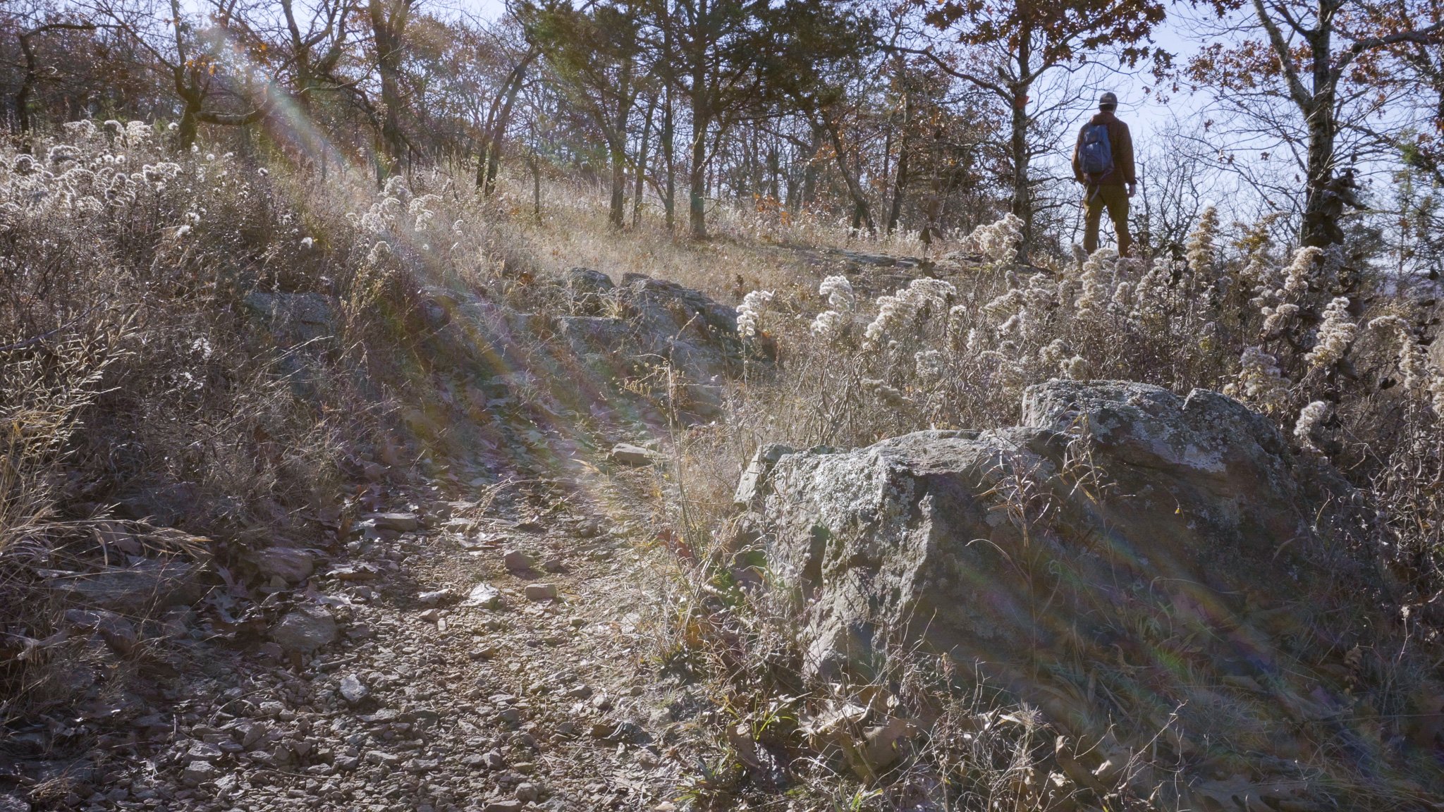
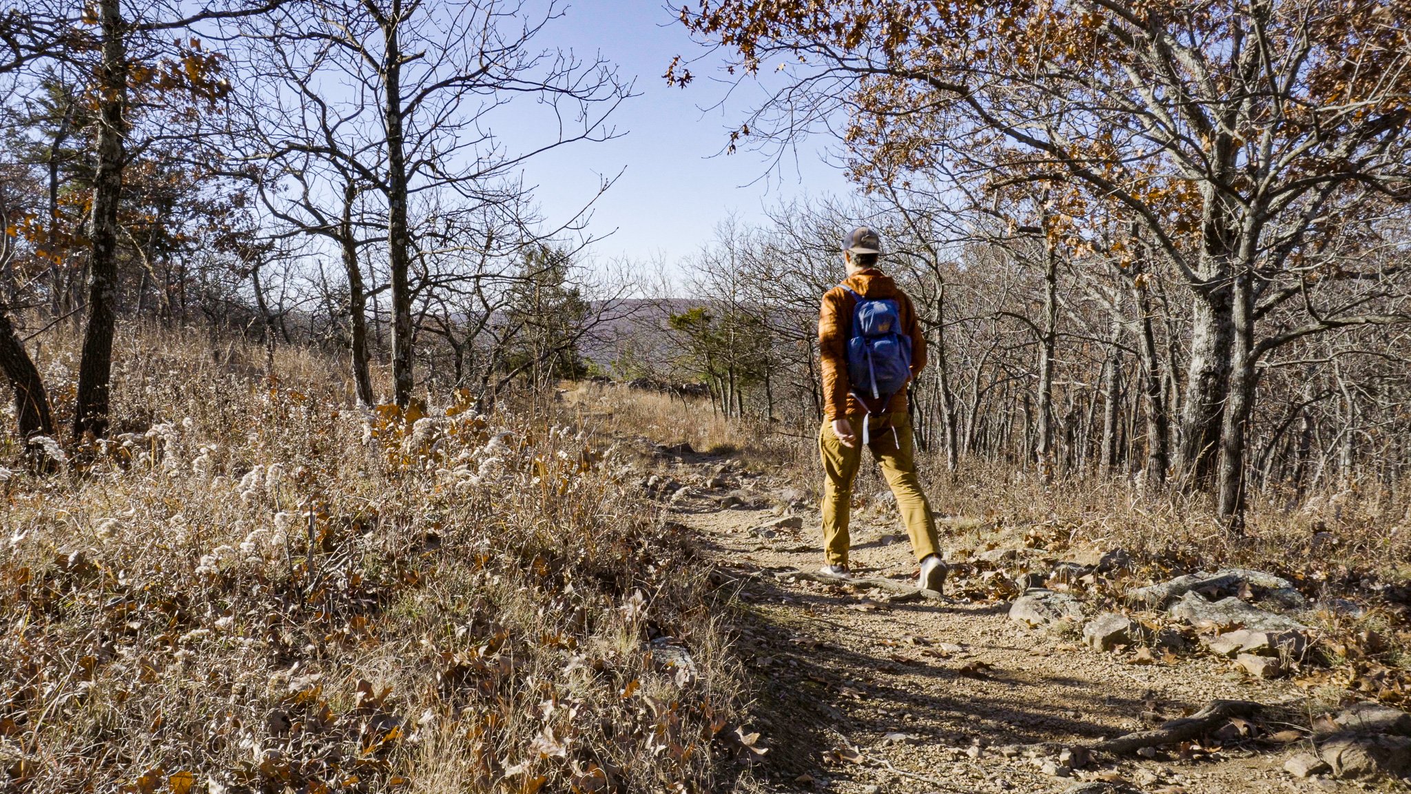
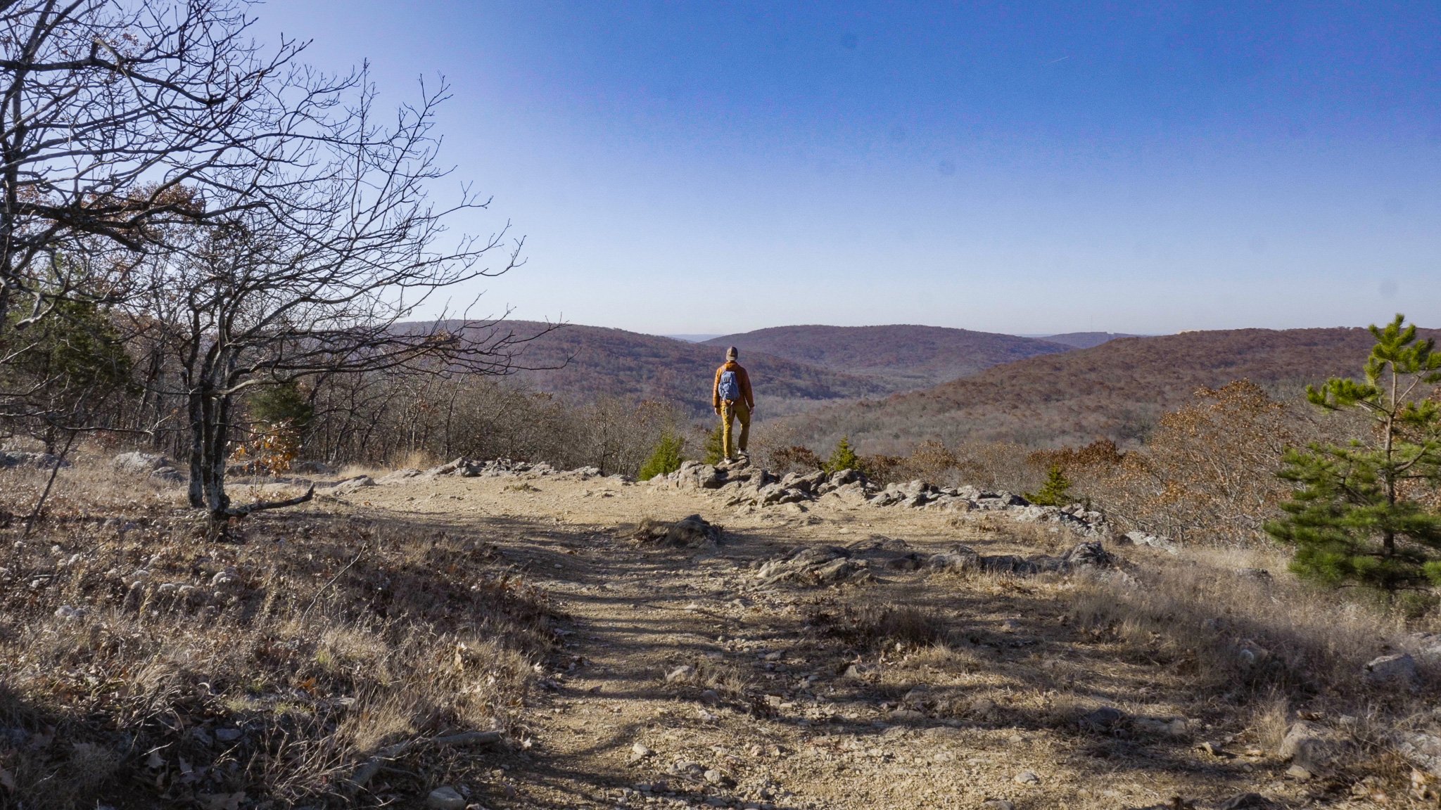
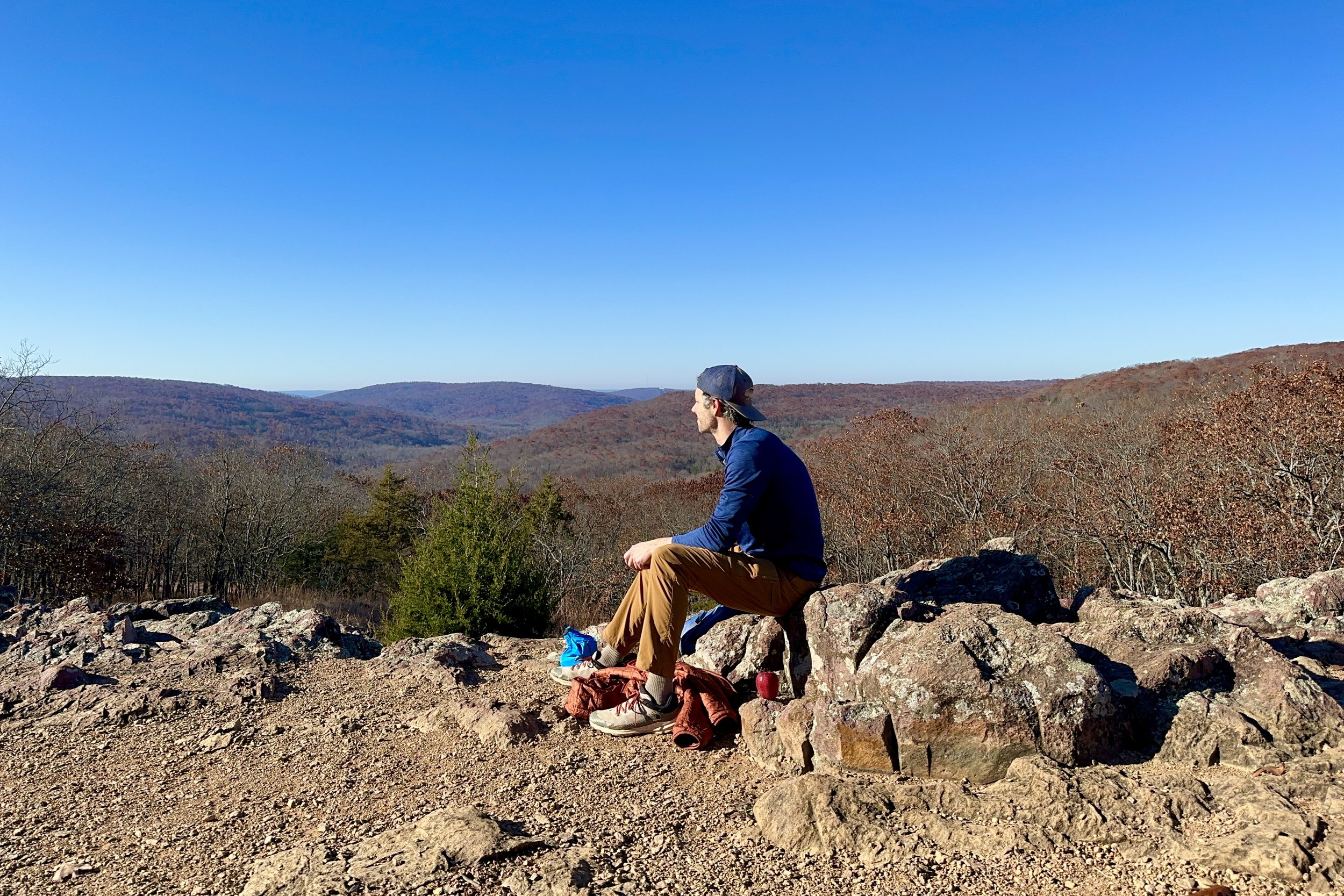
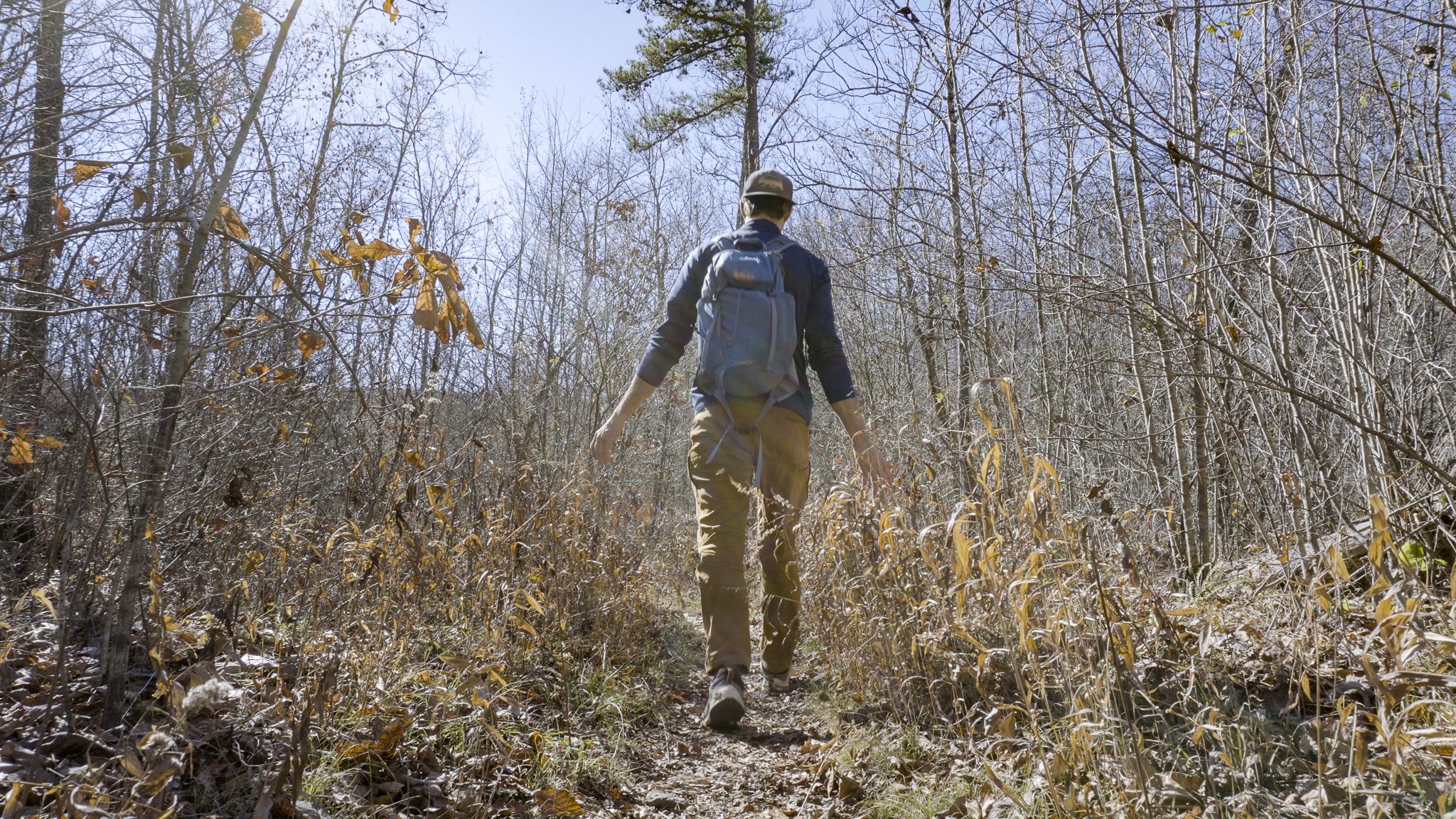
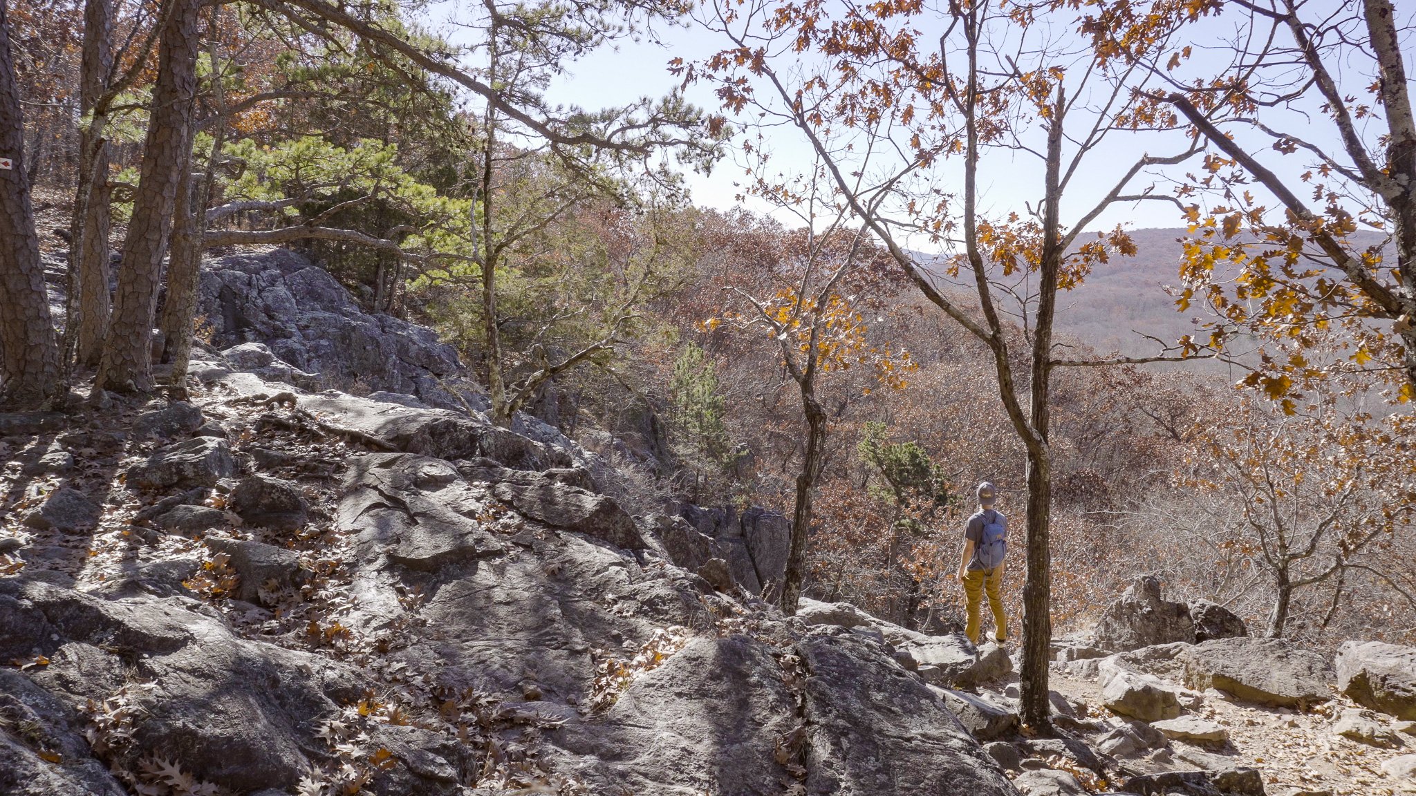
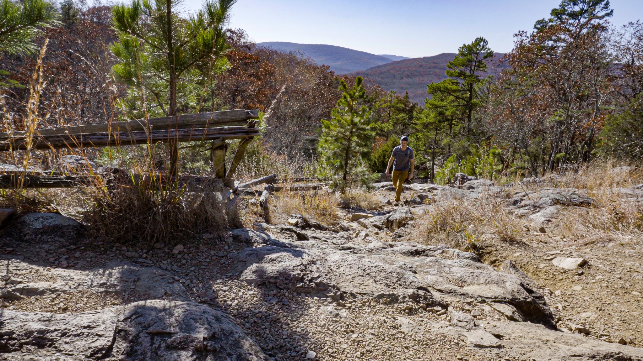
After writing my name in the notebook commemorating my accomplishment (lol), I continued along the trail to Mina Sauk Falls. For the next 1.2 miles I passed through several classic Missouri glades - dry, open, rocky, thin-soiled areas featuring outcroppings of rhyolite or granite bedrock generally facing south west - which are reminiscent of trails one might expect to find in the Rocky Mountains. At the 1 mile mark the trail features a beautiful unobstructed year-round panoramic view of the St. Francois Mountains to the west.
Missouri’s Tallest Waterfall: Mina Sauk Falls
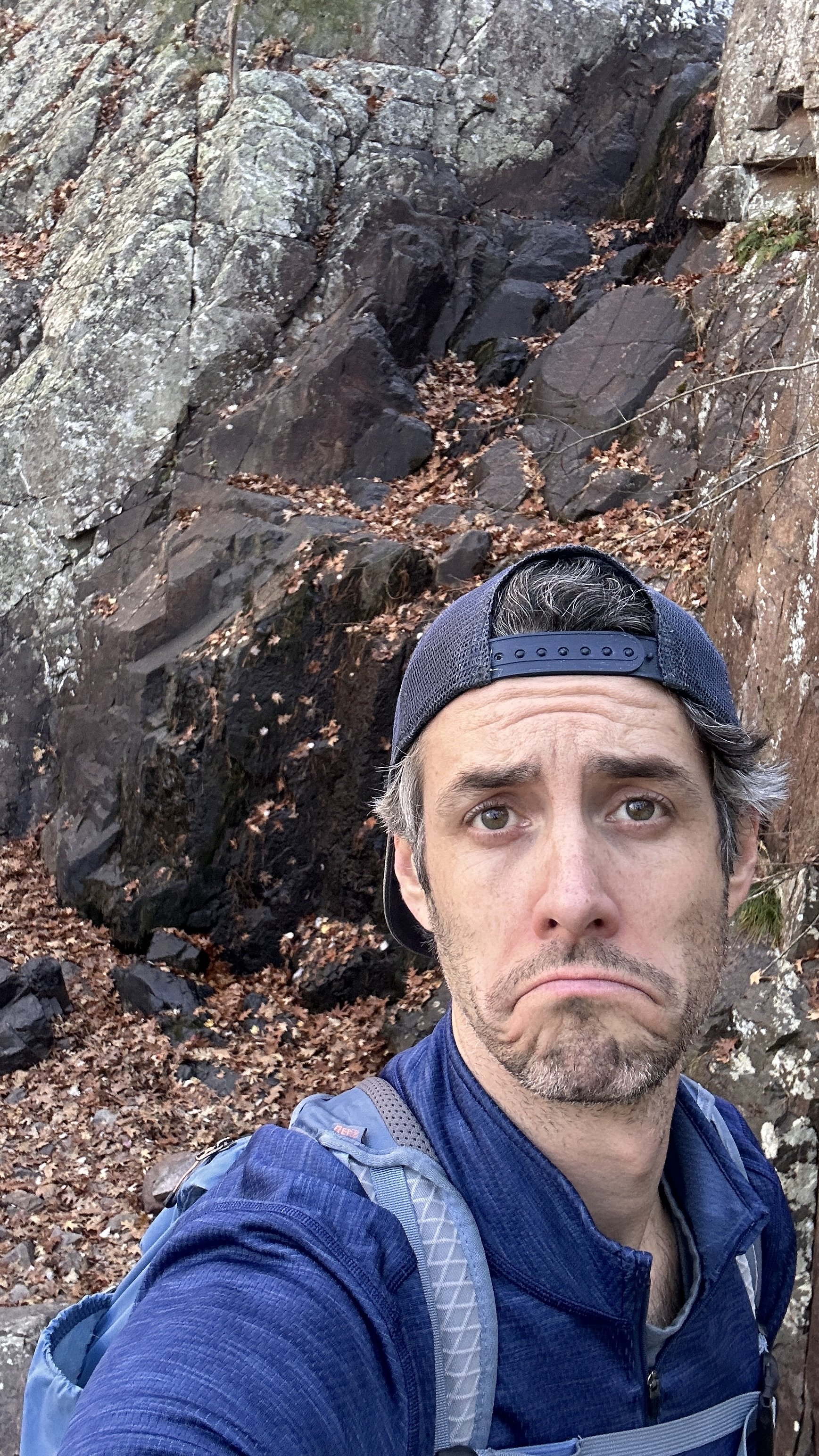
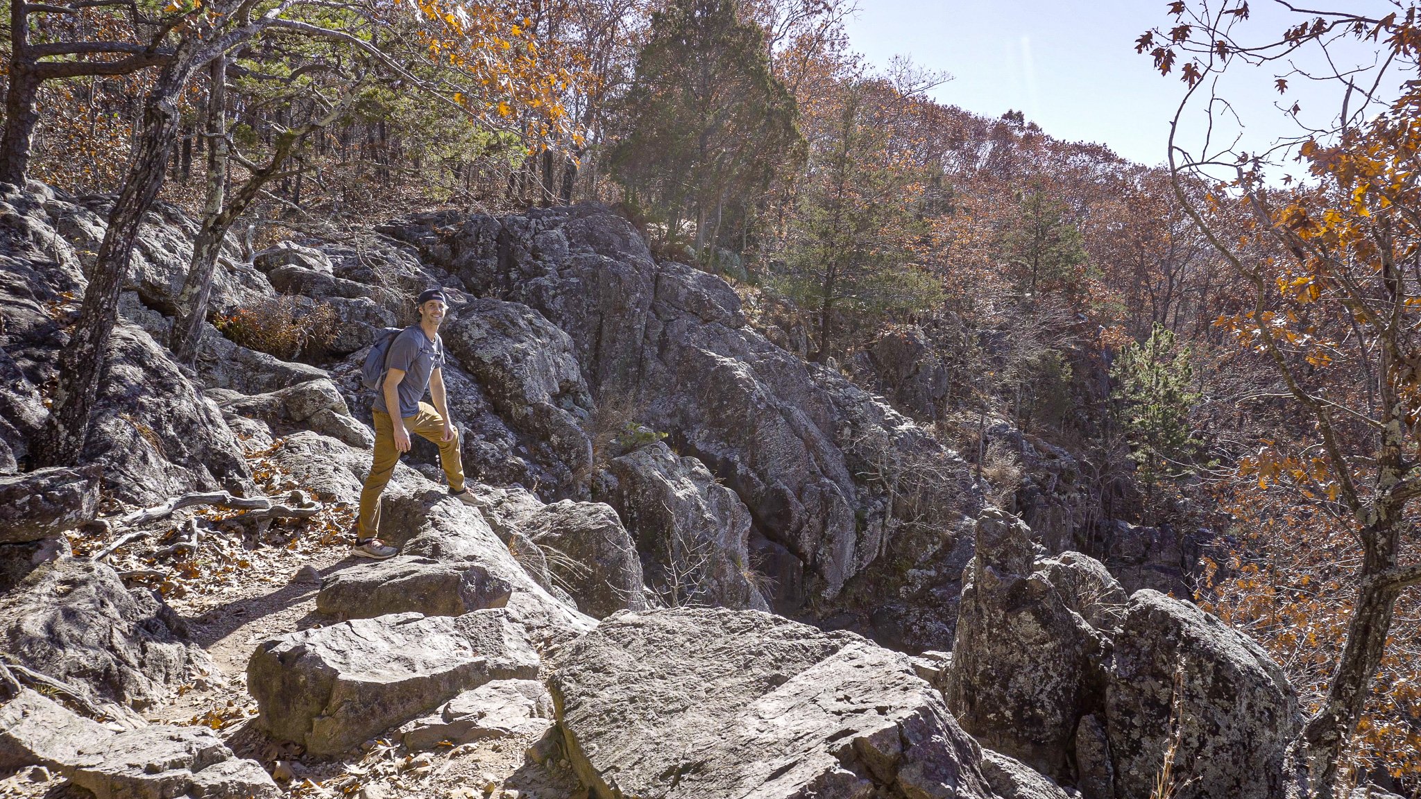
After 1.3 miles I reached the top of Mina Sauk Falls. Here the trail splits and I took the fork to the right onto the Ozark Trail to descend to the base of the falls. Unfortunately the water wasn’t flowing as Mina Sauk is a wet weather water fall best visited in Spring or after a rain.
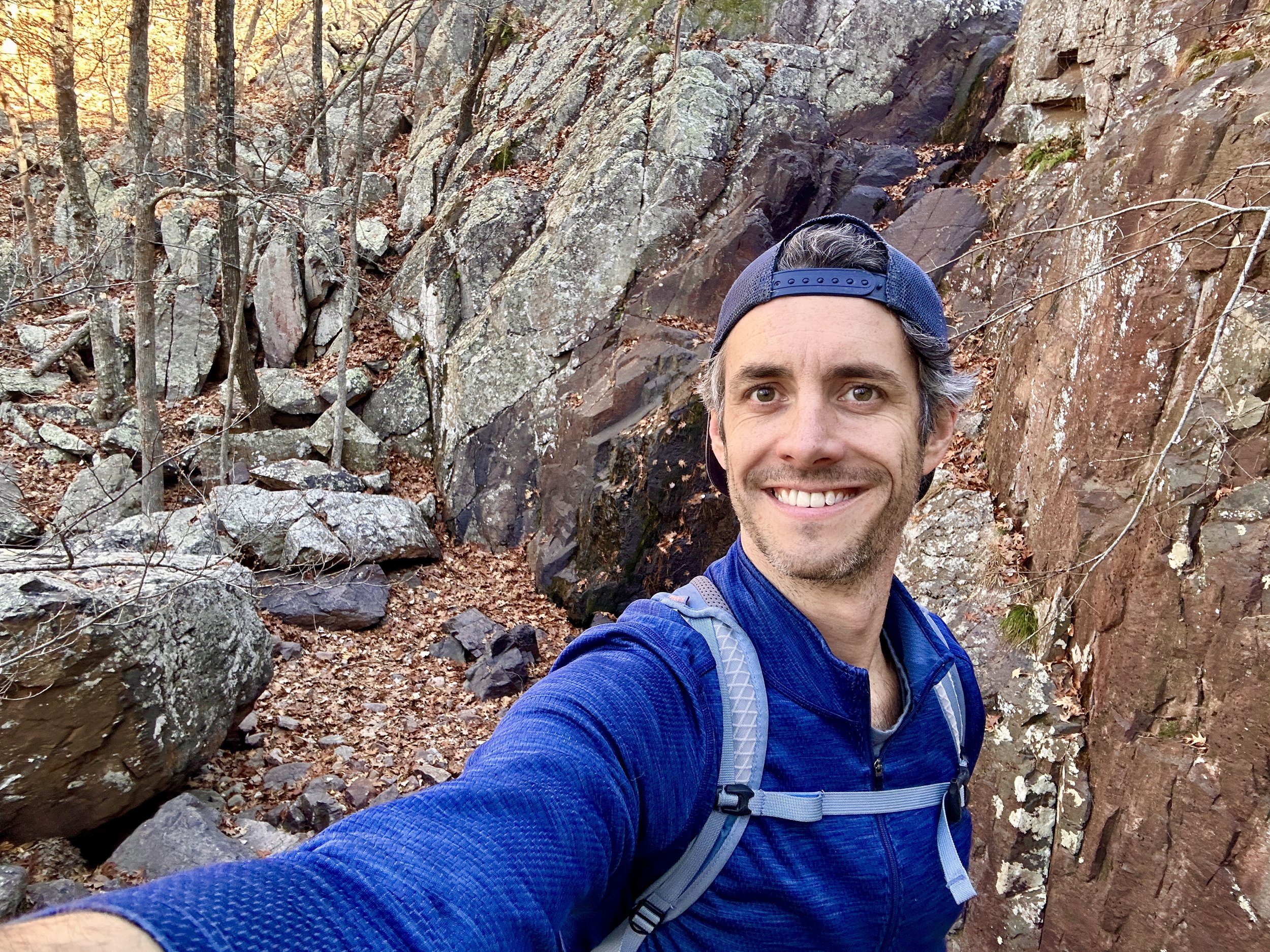
Mina Sauk Falls to Devil’s Toll Gate
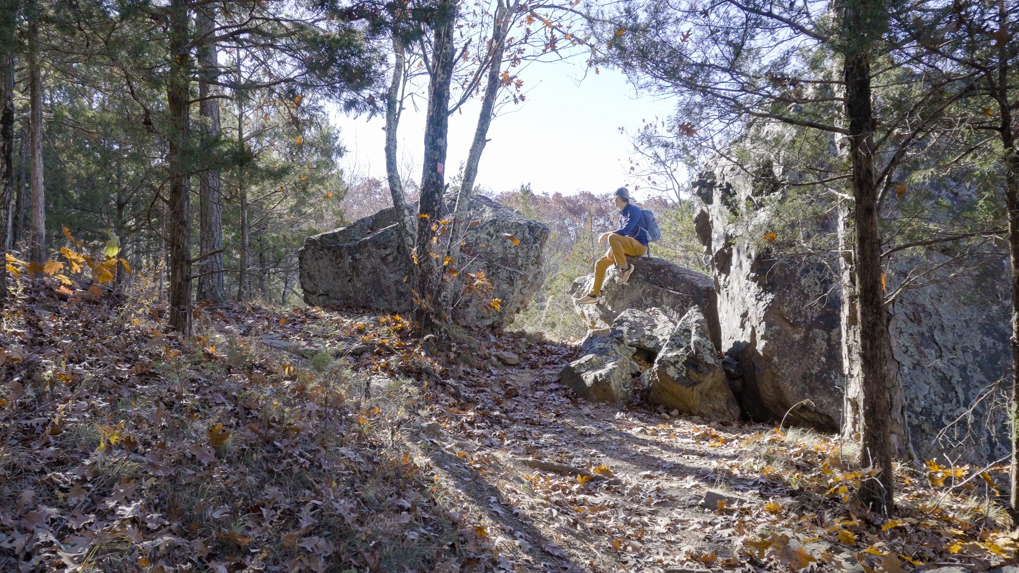
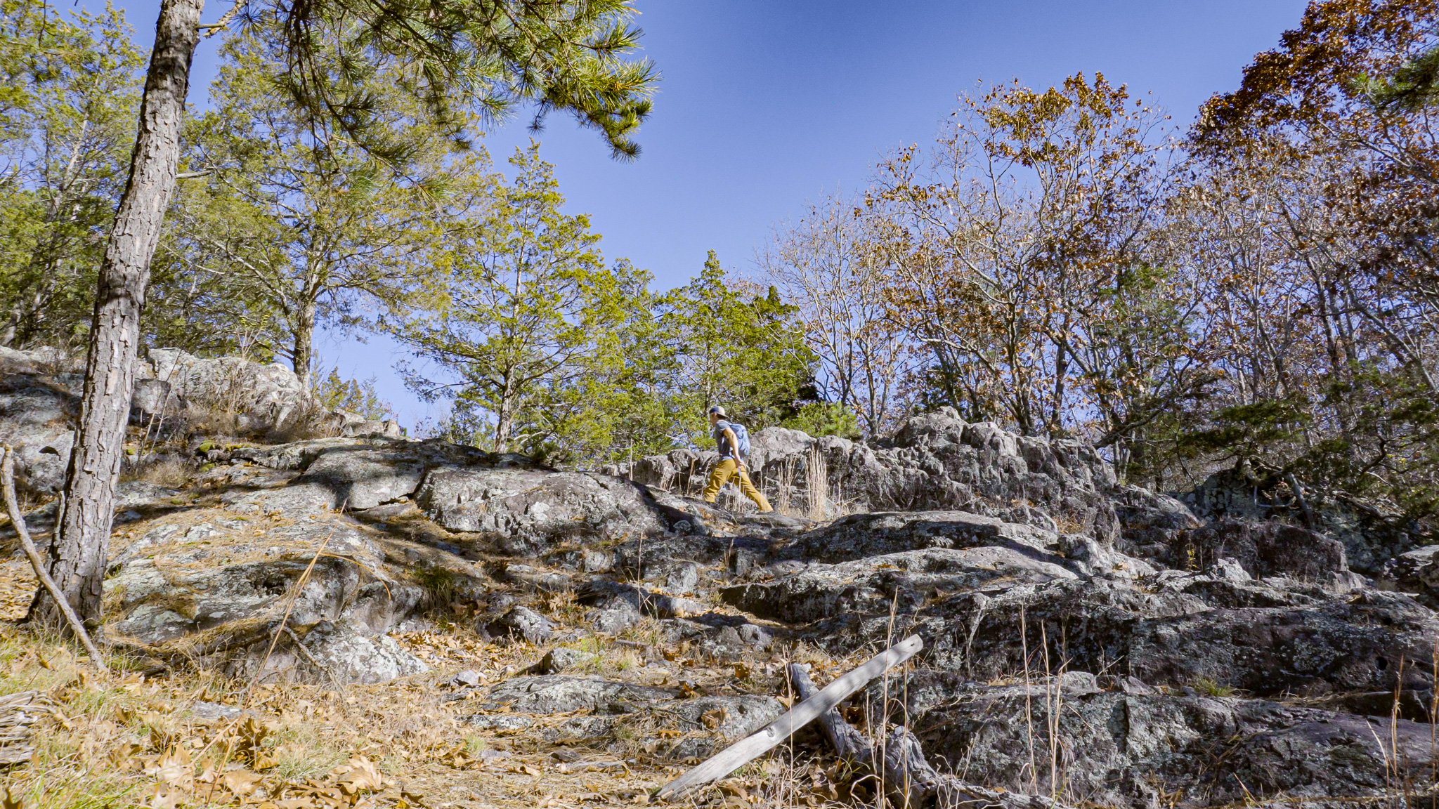
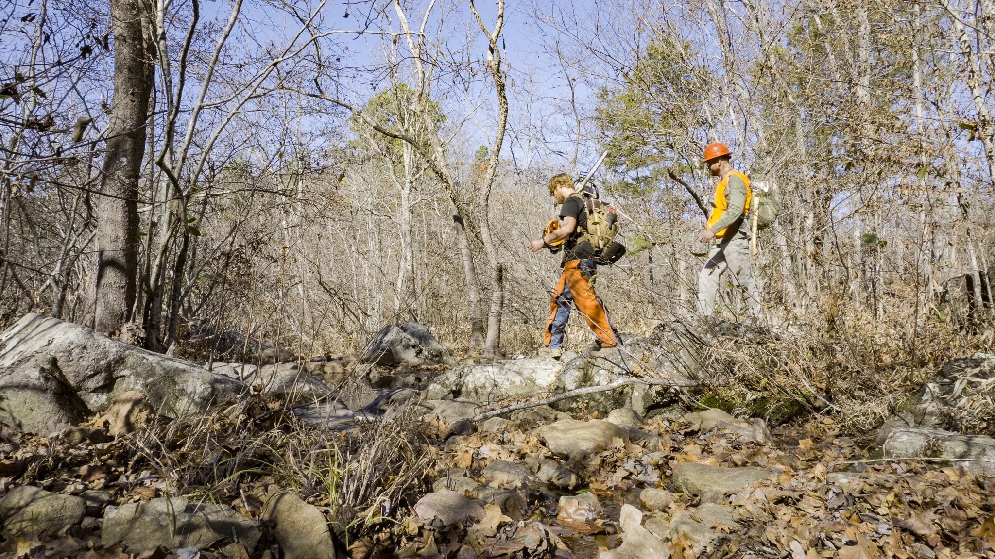
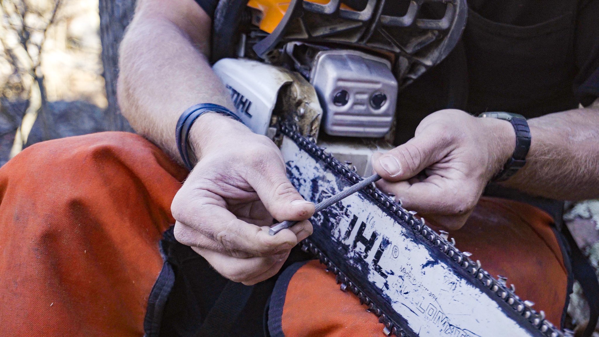
I continued on the Taum Sauk to Johnson Shut-Ins section of the Ozark Trail to the Devil’s Toll Gate. Along the way I met Devin Barnett and Adam McQuerry who work for the Ozark Trail Association. They were out clearing downed trees on this section of the OT. Devin was nice enough to share his knowledge of the Devil’s Toll Gate with me.
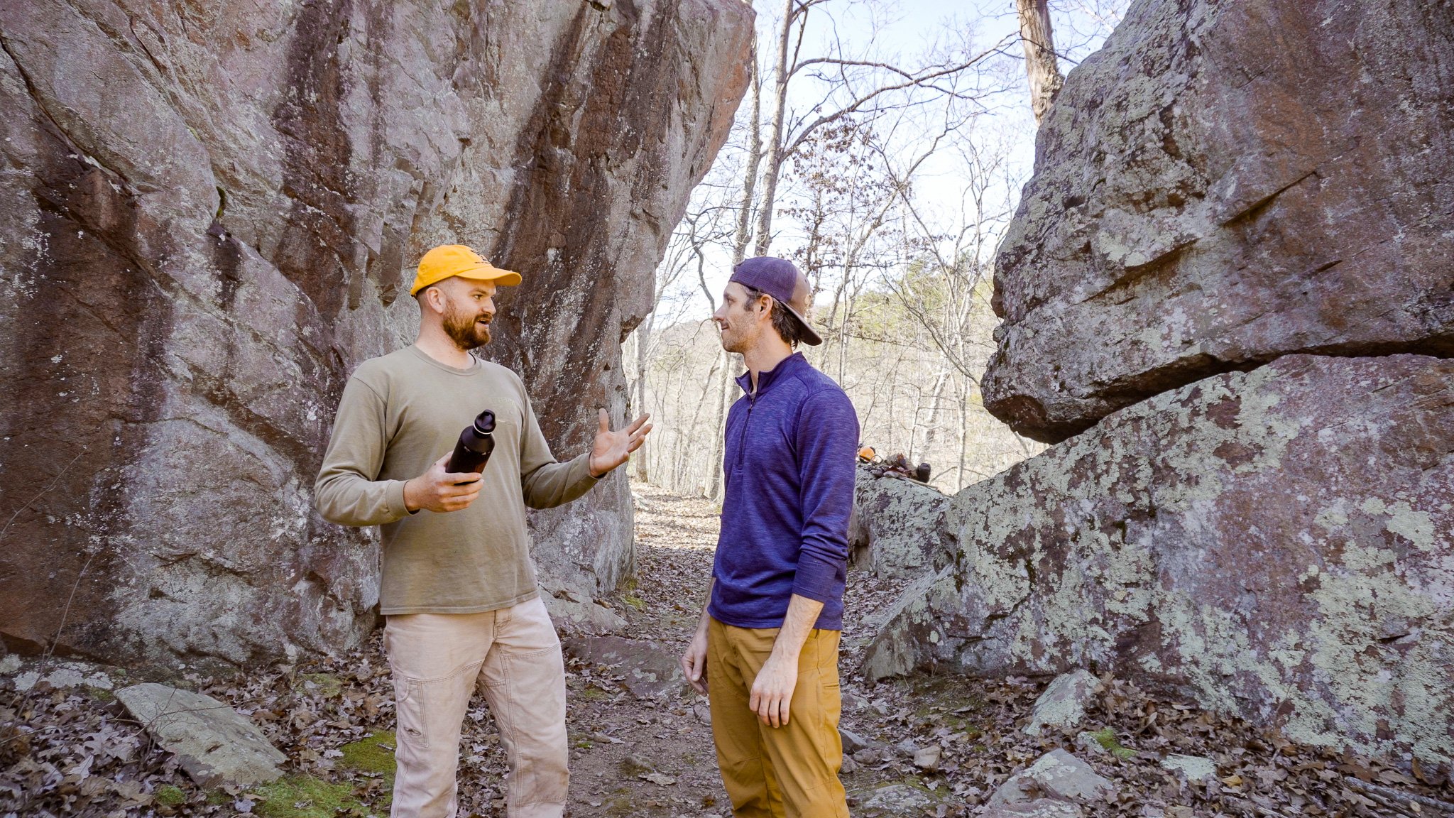
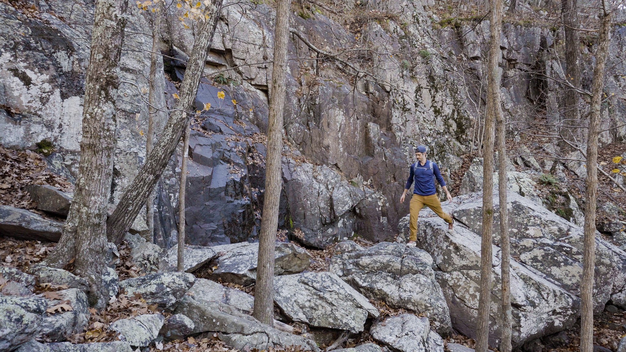
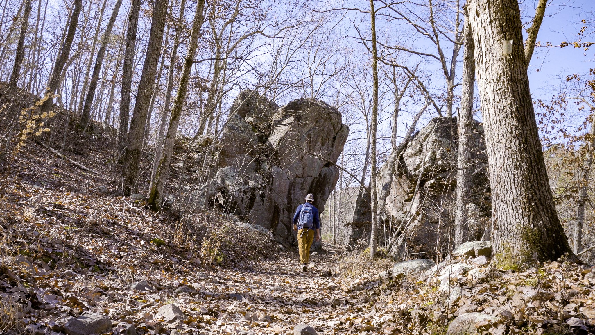
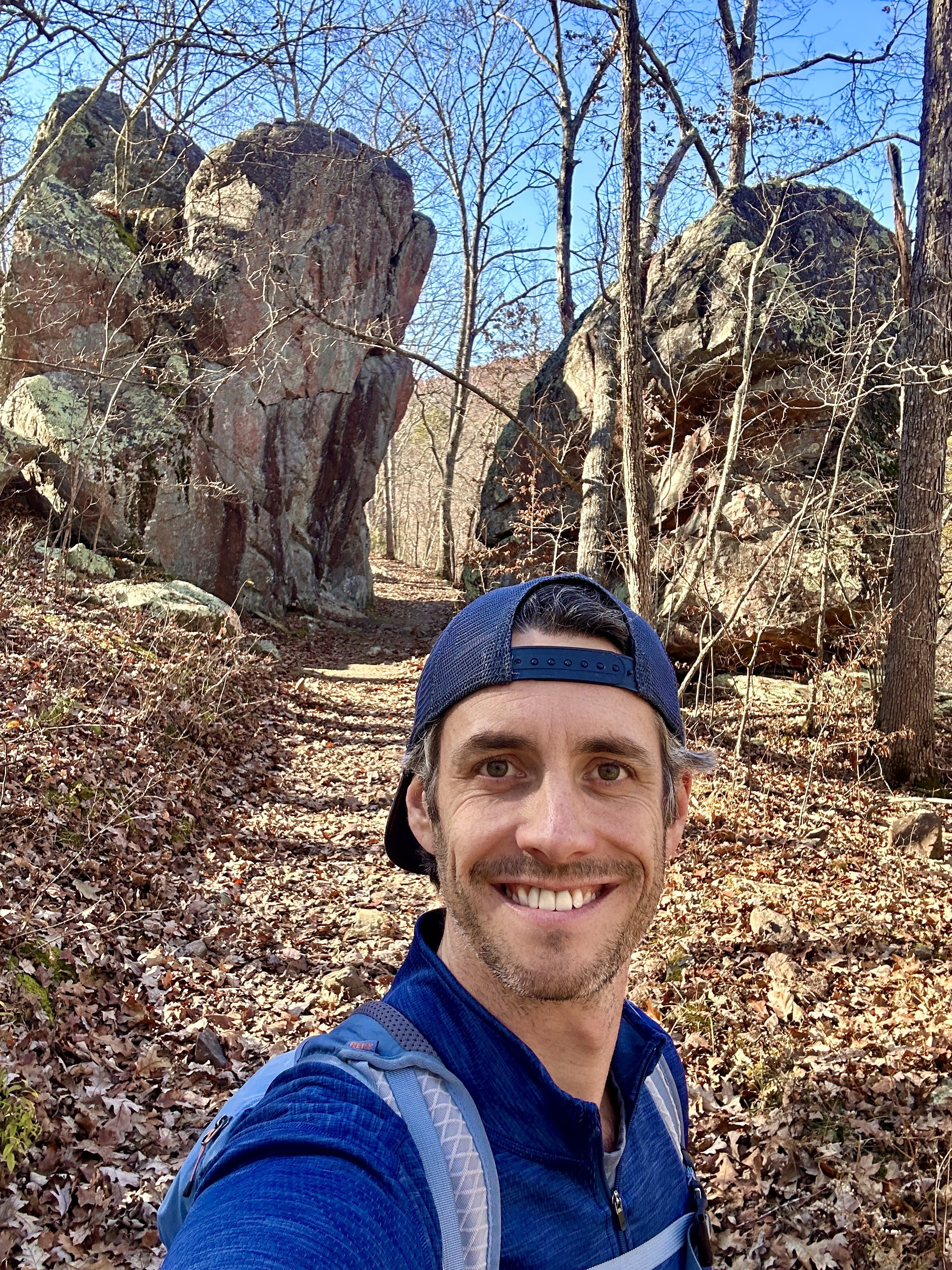
Devil’s Toll Gate

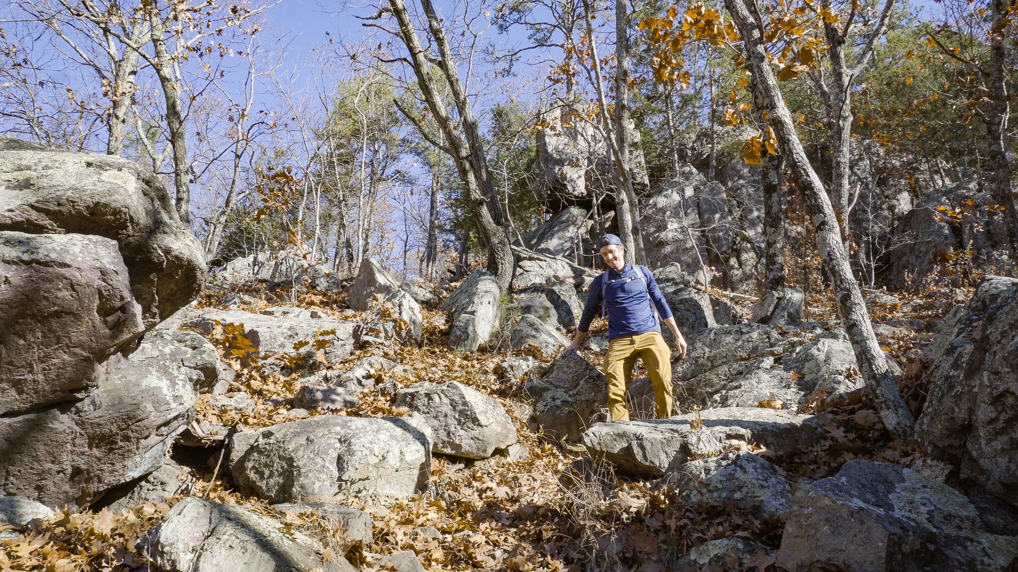
Rhyolite Porphyry
The Devil’s Toll Gate is a 30ft tall outcropping of rhyolite porphyry with a roughly 8ft wide gap that the trail passes through. Just wide enough for a wagon, this trail was used as a wagon road in the 1800s. Rhyolite porphyry is an extrusive igneous rock roughly 1.5 billion years old, some of the oldest extrusive igneous rock in North America. It was formed when the St. Francois Mountains were molded from caldera volcanoes 1.5 billion years ago.
After experiencing the Devil’s Toll Gate I doubled back on the OT to return to Mina Sauk Falls, forked right at the split atop the falls, and followed the trail back to the parking lot, completing arguably Missouri’s best day hike.
Hiking Gear List
Jacket - Patagonia Nano Puff Hoodie
Long Sleeve Shirt - REI Co-op Midweight Base Layer
T-Shirt - REI Co-op Sahara T-Shirt
Pants - KUHL Renegade Rock Pants
Underwear - REI Co-op Everyday Boxer Briefs
Shoes - The North Face VECTIV Fastpack FUTURELIGHT Hiking Shoes
Pack - REI Co-op Flash 22 Pack
Water Bottle - REI Co-op Nalgene 1L
Camera Gear List
Camera - Sony a6400
Drone - DJI Mini 2
SD Card - ScanDisk Extreme Pro 128 GB 200 MB/s
Follow me on Instagram @mshepjordan9 for more photos from this hike!
Subscribe to my YouTube channel for weekly solo hiking videos.
VIDEO MUSIC (AudioHero) - Get a FREE AudioHero membership when you purchase TubeBuddy Pro
DISCLAIMER: These links are affiliate links. If you purchase a product or service with the links that I provide I may receive a small commission which helps me out and is no cost to you! Thank you for supporting my journey.