Hiking Cuivre River South Loop Trail
Hiking Cuivre River South Loop Trail

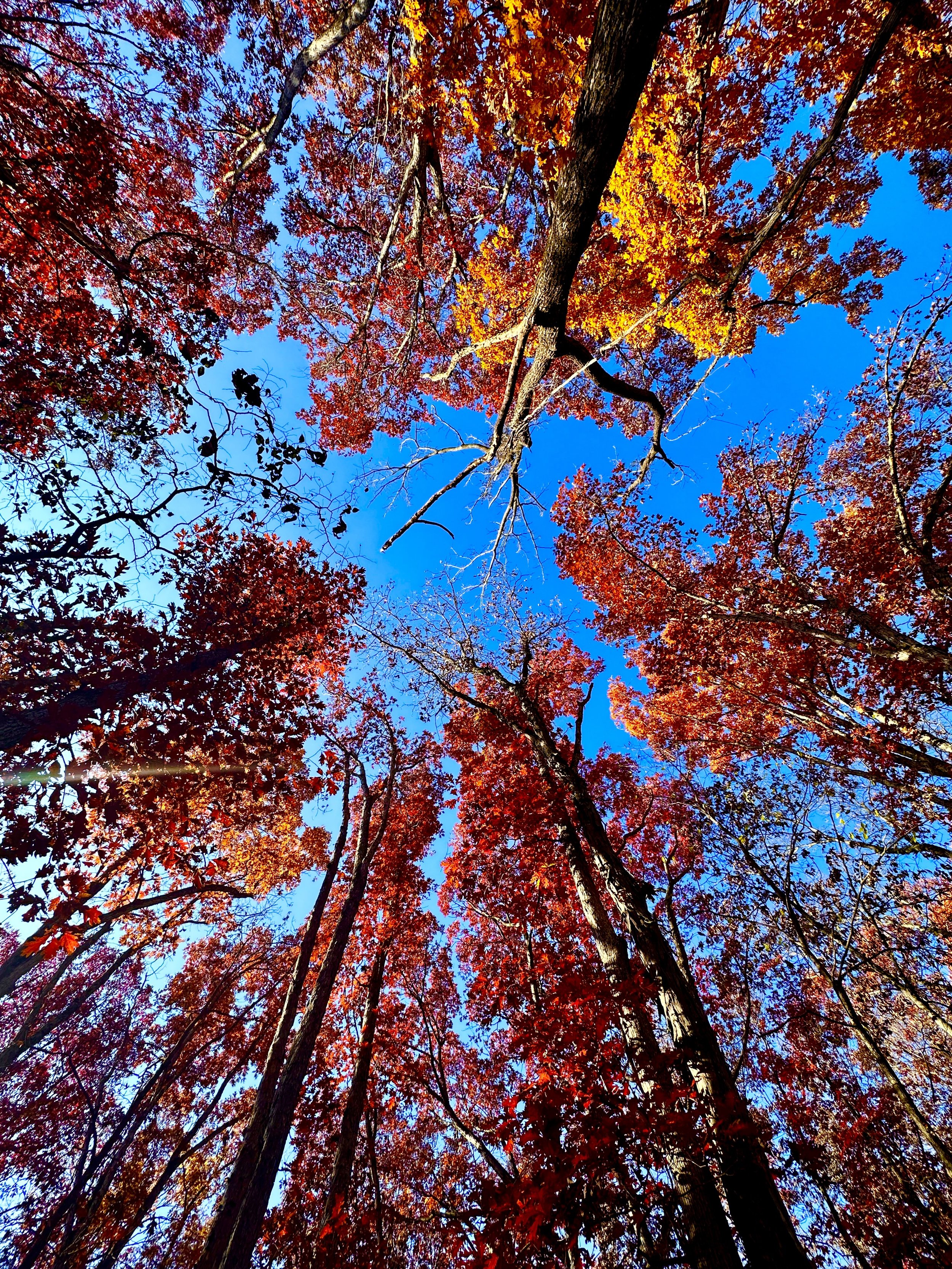
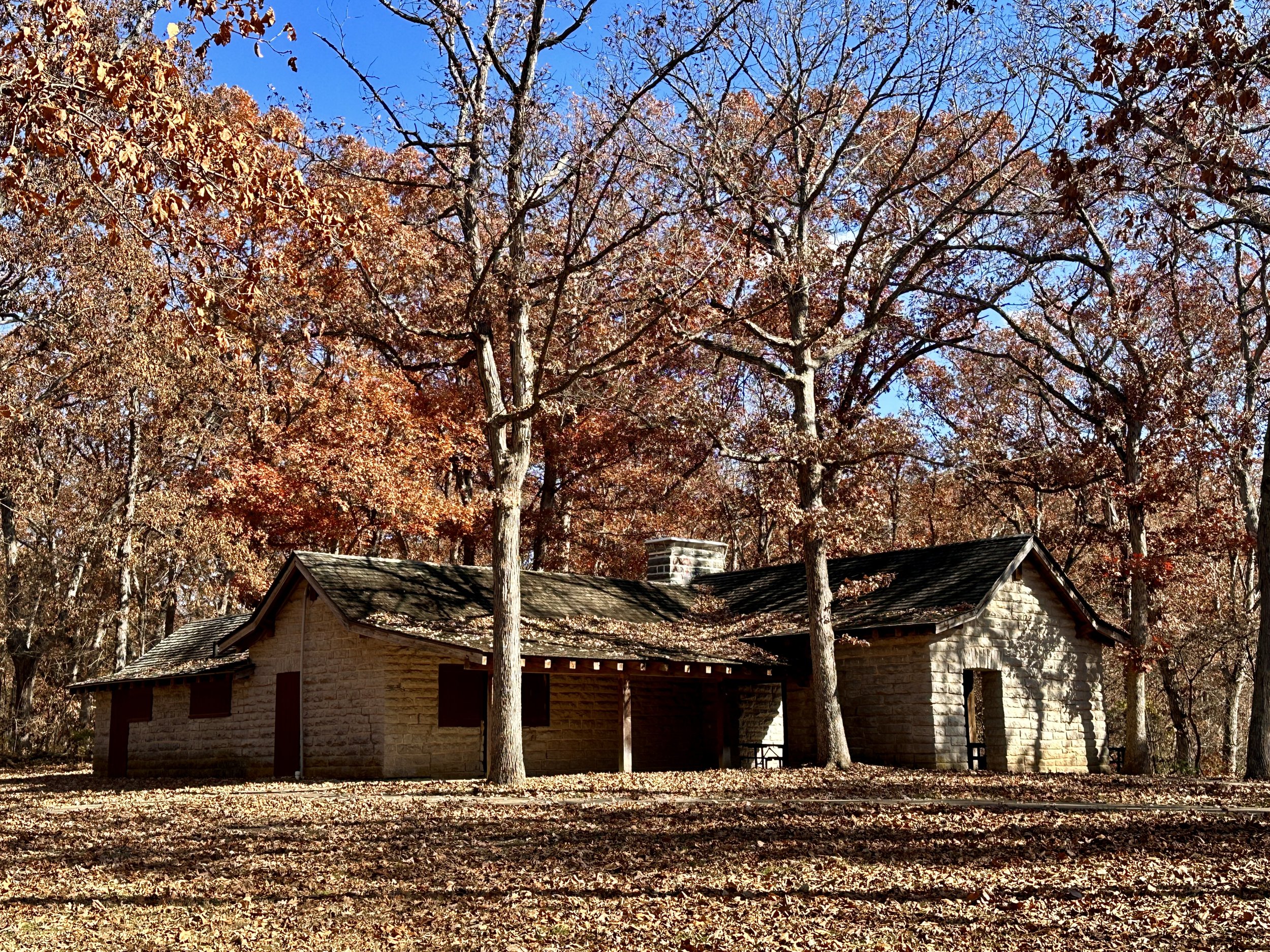
Residing an hour northwest of St. Louis in Troy, Missouri lies Cuivre River State Park. Cuivre is pronounced similarly to ‘quiver,’ the container that holds arrows. The fun, but tongue-twisty task of speaking “Cuivre River” won’t be the only enjoyment on this 7.4 mile hike as the Cuivre River South Loop Trail offers unobstructed bluff views and a rugged Ozark mountain feel that’s rare in the predominantly agricultural landscape of northern Missouri.
Cuivre River South Loop Trail
Type: Loop | Rate: Moderate | Traffic: Moderate | Distance: 7.4mi | Elevation Gain: 686ft
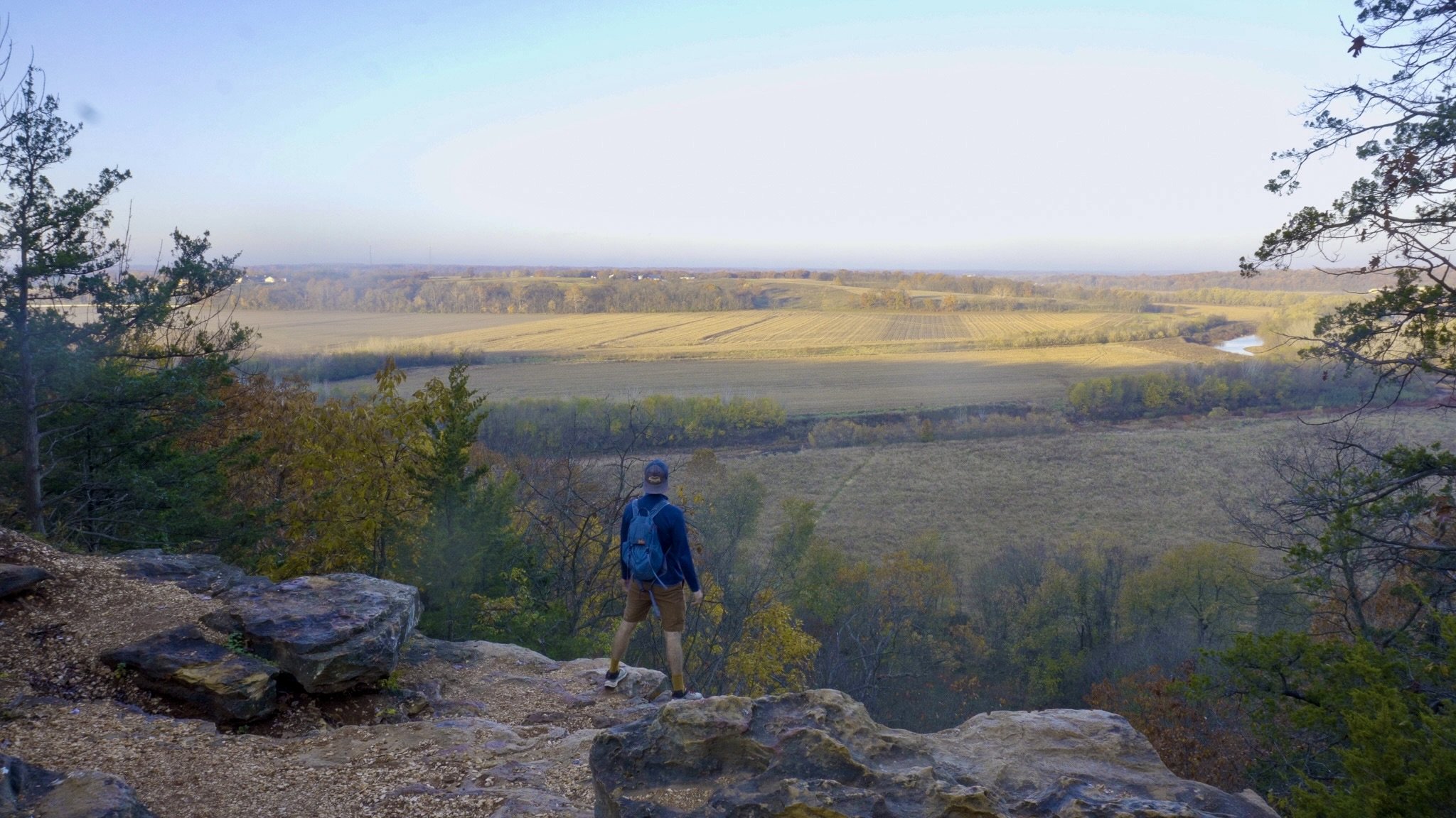
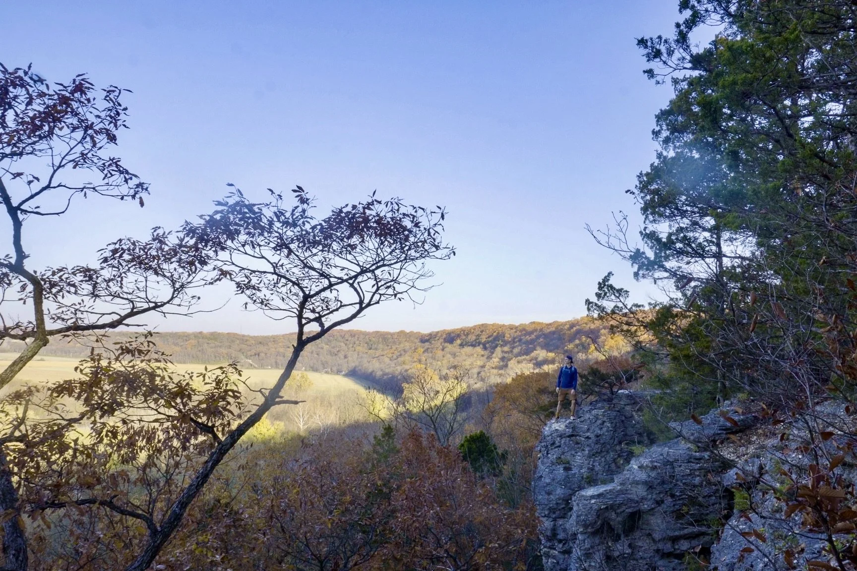
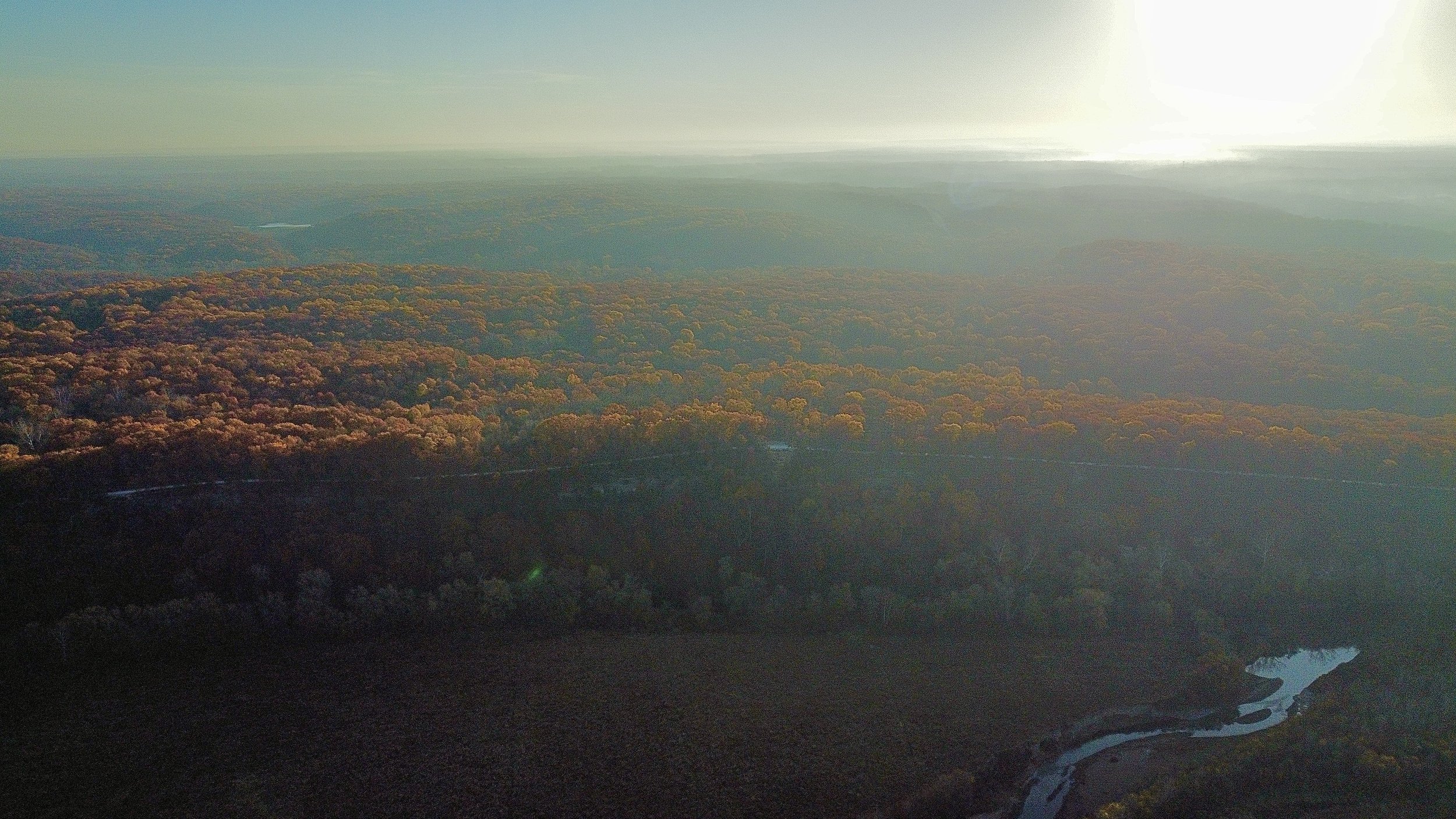
See beautiful unobstructed Missouri bluff views along Frenchman’s Bluff.
View this map in AllTrails.
How to Pronounce “Cuivre”
“Cuivre” is a French word meaning “Copper,” however the river wasn’t named because of the presence of copper (there is none) nor does it have a copper tint. It was named by two French scientific students who were collecting specimens of the flora and fauna after land was acquired by France in 1800. The students named the river in honor of their mentor Baron Georges Leopold Cuivre, a French naturalist and paleontologist (1769-1832).
Follow me on Instagram: @mshepjordan9
Hiking the South Loop Trail Clockwise
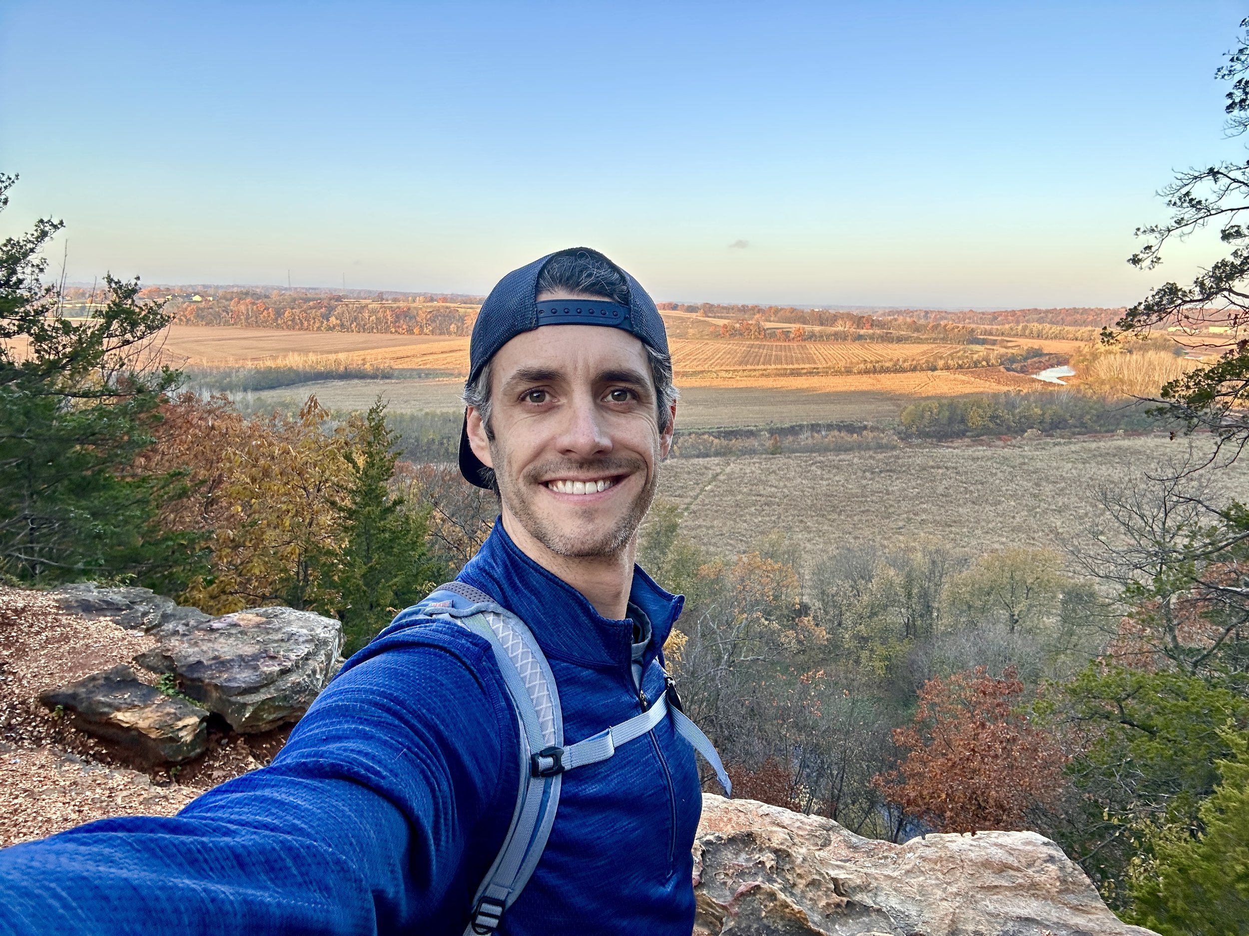
I arrive at Cuivre River State Park at 6:20 in the morning. Unfortunately the gate to the park was closed, but fortunately there was additional parking and access to the Cuivre River State Park trail system at the equestrian parking lot. I hit the trail and headed clockwise to get the bluff views in the early morning light.
Frenchman’s Bluff
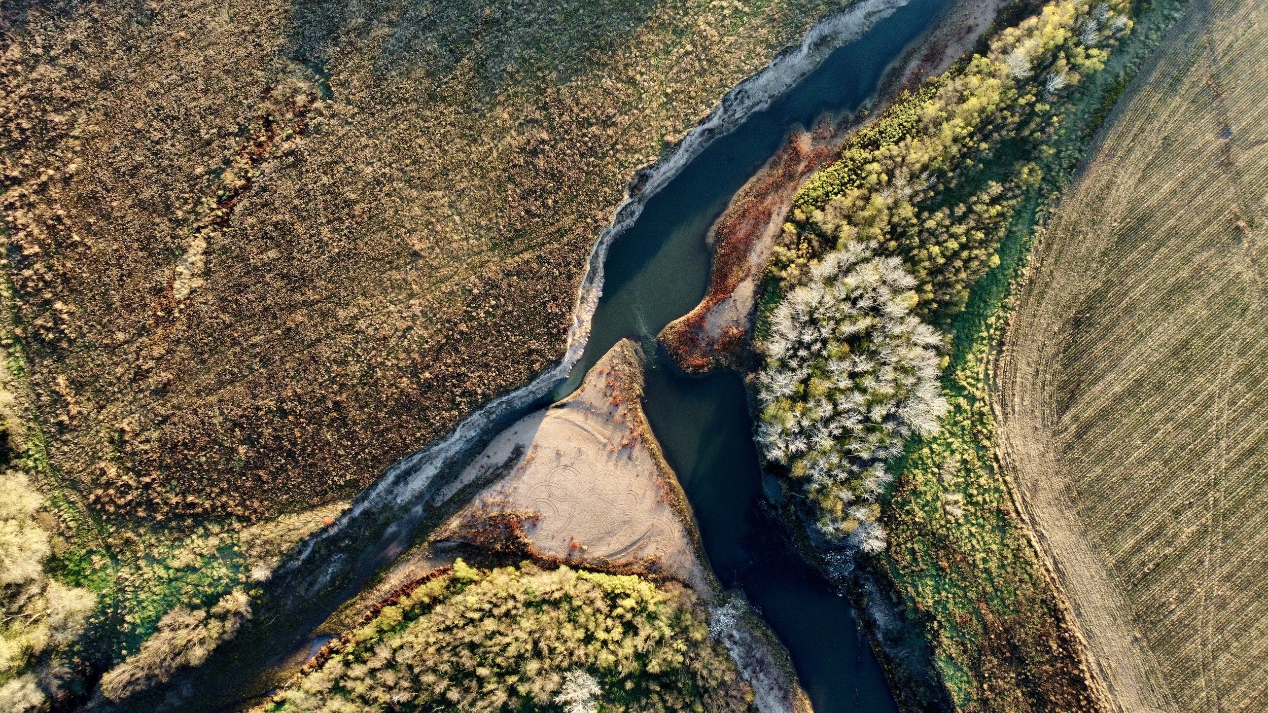
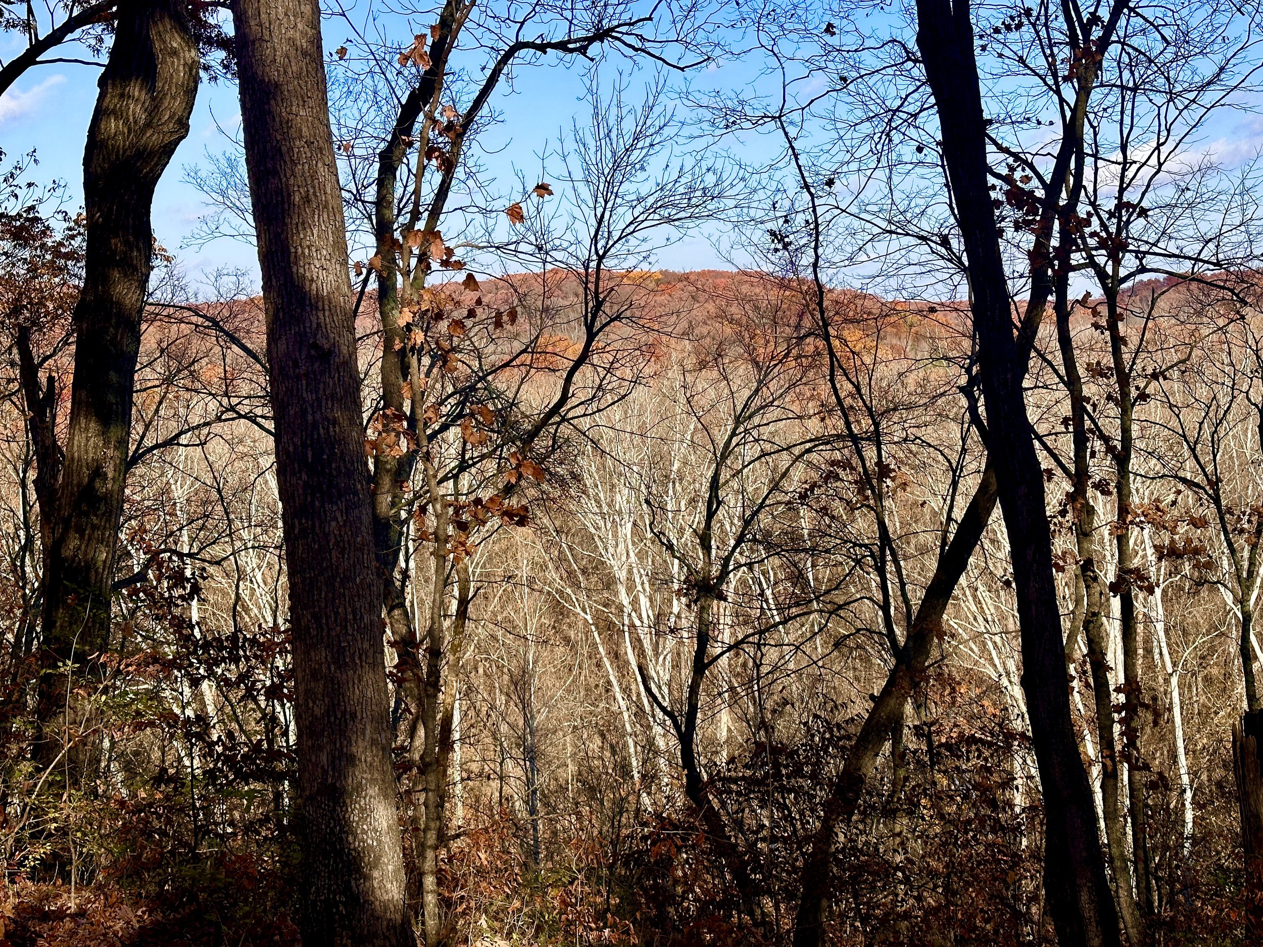
The bluff views begin along the Cuivre River, offering several unobstructed views of the Cuivre River and valley to the west. The trail continues along Frenchman’s Bluff for the next 2 miles. At it’s peak the bluff stands 120 feet tall, formed in Burlington limestone. There is parking at the Main Overlook along Cheatham Road should you choose to simply drive to the view.
Cuivre River South Loop Trail Review
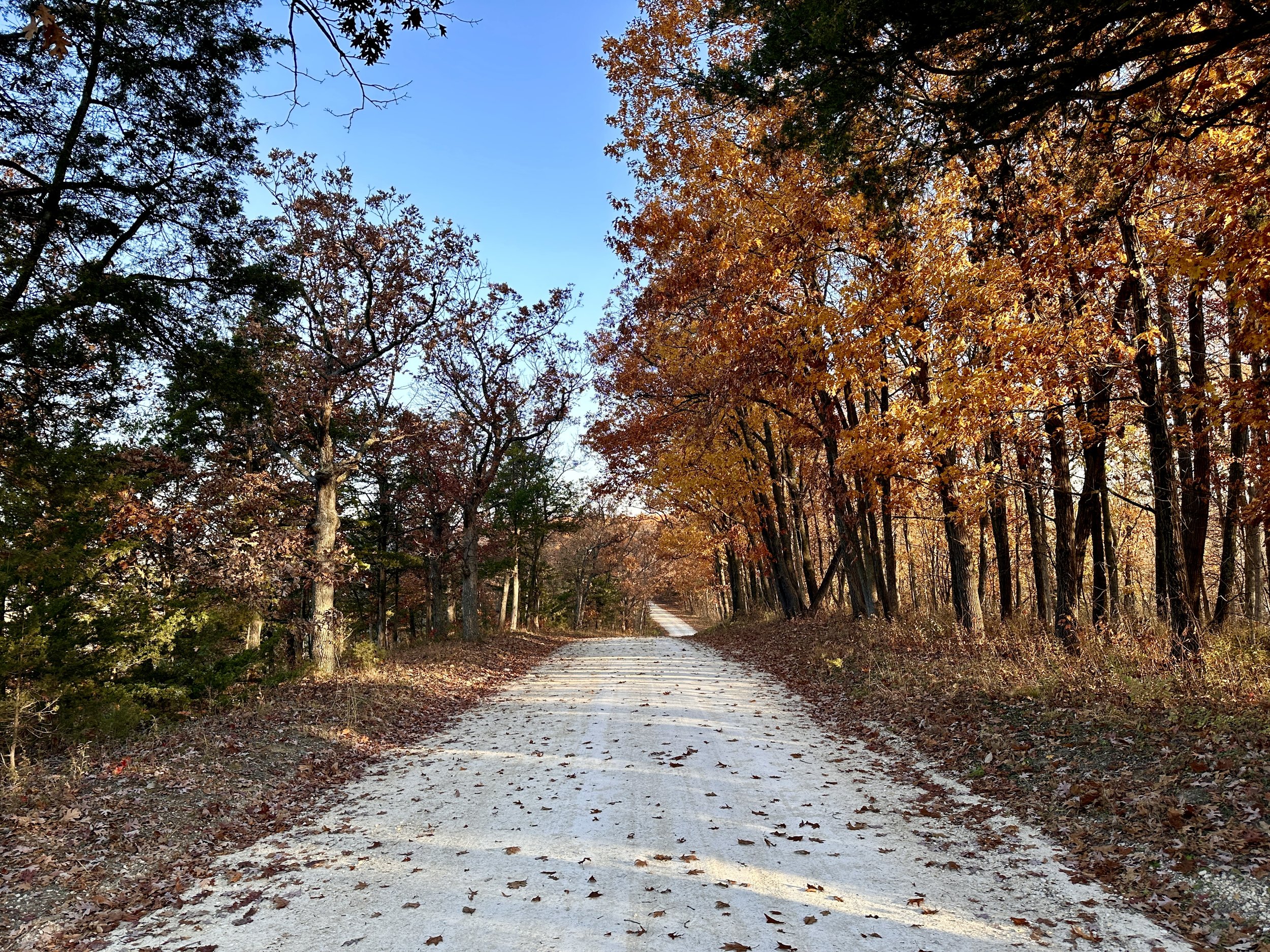
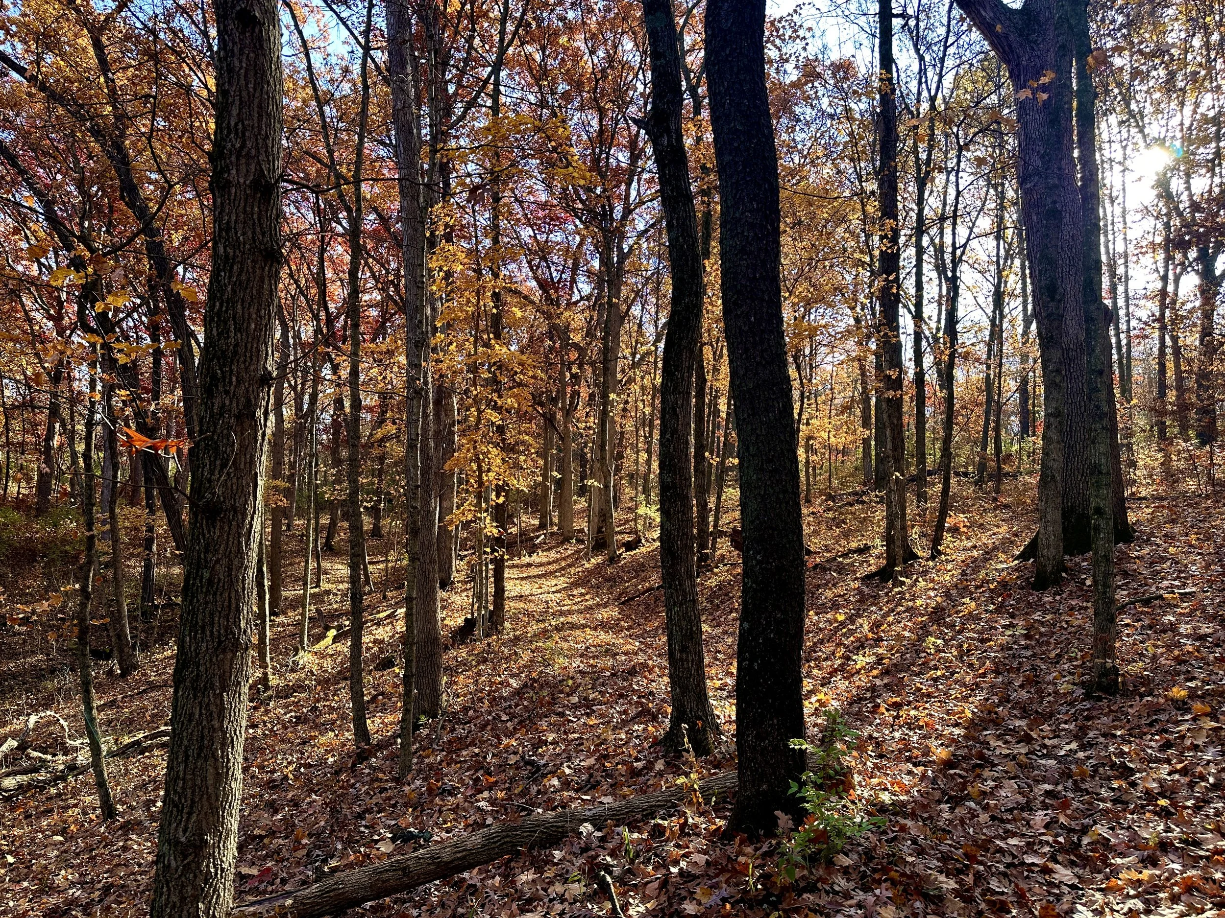
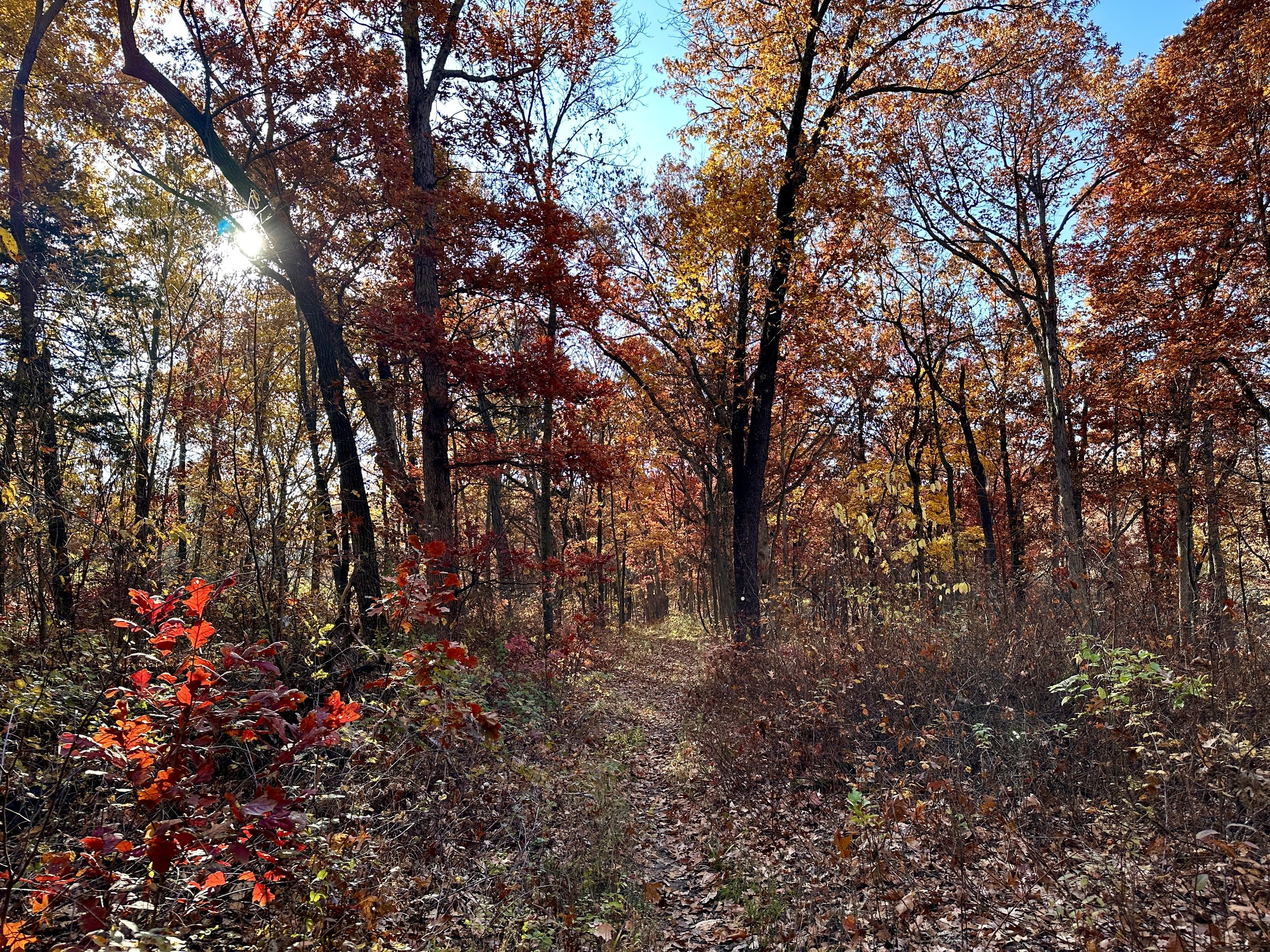
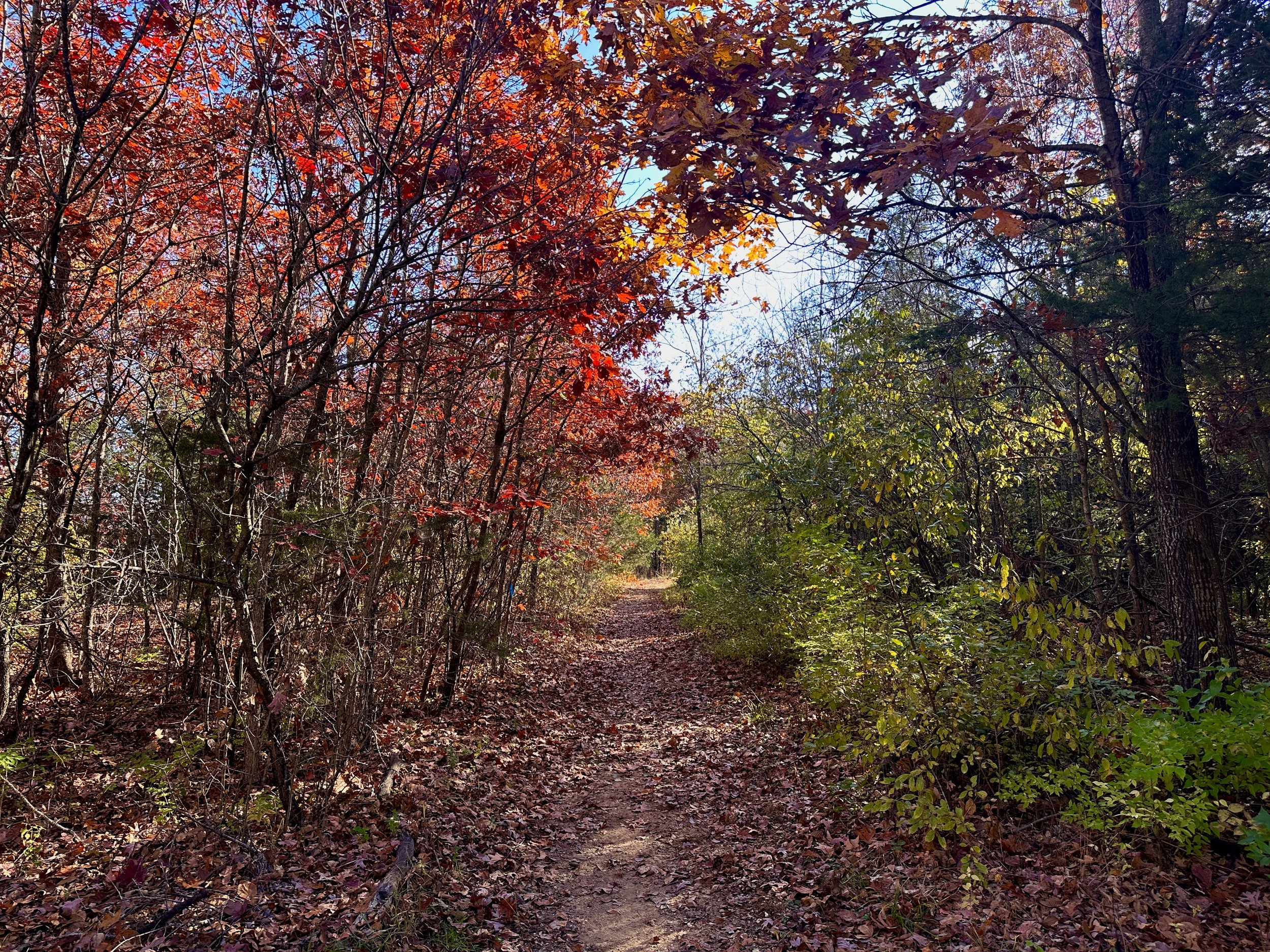
As with many Missouri hikes the bluffs are the main attraction. Cuivre River South Loop Trail is a loop so one could choose to hike the trail clockwise visiting the bluffs first then trekking the miles through the woods. Truthfully the 4 mile section through Big Sugar Creek can become a bit monotonous which is why it’s recommended to save the views for last. However, this hike could easily be done as a 4 mile out and back hike along the bluff. The ideal strategy would be to arrive at the bluff section of the trail at sunrise or sunset because the views are stunning. The choice is yours, but either way there is something worth seeing at Cuivre River State Park.
More Hiking Videos
Hiking Mudlick Mountain at Sam A. Baker State Park
Beautiful Bluff Views on the Lewis & Clark Trail
Hiking Gear List
Jacket - Patagonia Nano Puff Hoodie
Shirt - Ope Outdoors Sam A. Baker
Pants - KUHL Renegade Rock Pants
Underwear - REI Co-op Everyday Boxer Briefs
Shoes - The North Face VECTIV Fastpack FUTURELIGHT Hiking Shoes
Pack - REI Co-op Flash 22 Pack
Water Bottle - REI Co-op Nalgene 1L
Camera Gear List
Camera - Sony a6400
Drone - DJI Mini 2
SD Card - ScanDisk Extreme Pro 128 GB 200 MB/s
Follow me on Instagram @mshepjordan9 for more photos from this hike!
Subscribe to my YouTube channel for weekly solo hiking videos.
VIDEO MUSIC (AudioHero) - Get a FREE AudioHero membership when you purchase TubeBuddy Pro
DISCLAIMER: These links are affiliate links. If you purchase a product or service with the links that I provide I may receive a small commission which helps me out and is no cost to you! Thank you for supporting my journey.